Mazamari night lights from space
Night Light of Mazamari (Junin) from space (Peru) Src. Average luminocity for 10x10km area is 3.1602% and for 50x50km: 0.6799%.
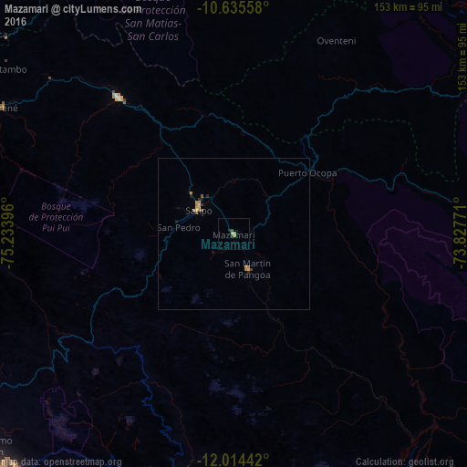
Analysis of Mazamari night lights 2016
Square area 10x10 km:
 0%
0%90-99
0%80-89
0.22%70-79
1.52%60-69
0.87%50-59
0%40-49
1.73%30-39
0%20-29
0.87%10-19
0%0-9
94.81%Square area 50x50 km:
0%90-99
0%80-89
0.03%70-79
0.31%60-69
0.24%50-59
0.07%40-49
0.1%30-39
0.1%20-29
0.14%10-19
0.09%0-9
98.92%Clear (daylight) street map image can be seen on geolist.org.
Map coordinates:
10° 38' 8.1" South, 75° 14' 2.3" West
11° 19' 33" South, 74° 31' 51" West
12° 0' 51.9" South, 73° 49' 39.8" West
Some cities around Mazamari sort by population:
• Huancayo
110.2 km =68.5 mi,  221°
221°
• Satipo
14.3 km =8.9 mi,  304°
304°
• San Ramón
92.9 km =57.7 mi,  283°
283°
• Concepción
107.7 km =66.9 mi,  232°
232°
• San Jerónimo
107.9 km =67 mi, 229°
• Villa Rica
103.7 km =64.4 mi,  308°
308°
• Perené
86.7 km =53.9 mi, 299°
• San Agustin
106.7 km =66.3 mi, 227°
3935102 (p: 6,826)
Sources (retrieved 2019-11-25):
» Earth at Night: Flat Maps 2012, 2016