Huancayo night lights from space
Night Light of Huancayo (Junin) from space (Peru) Src. Average luminocity for 10x10km area is 72.0434% and for 50x50km: 9.6801%.
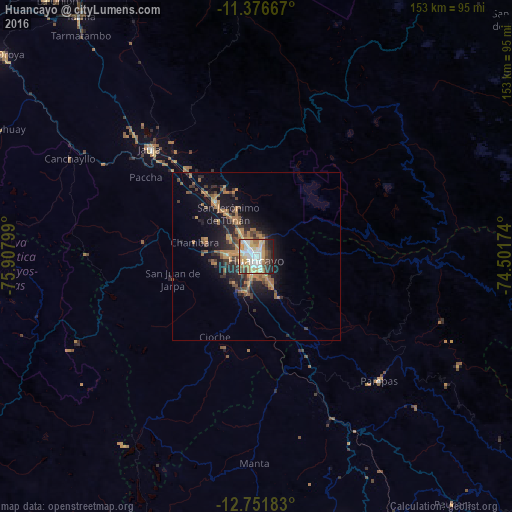
Analysis of Huancayo night lights 2016
Square area 10x10 km:
 17.77%
90-99
20.45%80-89
9.09%70-79
15.29%60-69
8.26%50-59
3.31%40-49
6.2%30-39
9.92%20-29
7.64%10-19
2.07%0-9
0%Square area 50x50 km:
0.75%90-99
0.9%80-89
0.47%70-79
2.42%60-69
2.31%50-59
1.26%40-49
1.72%30-39
1.76%20-29
2.71%10-19
6.95%0-9
78.75%Clear (daylight) street map image can be seen on geolist.org.
Map coordinates:
11° 22' 36" South, 75° 54' 28.8" West
12° 3' 54.5" South, 75° 12' 17.5" West
12° 45' 6.6" South, 74° 30' 6.3" West
Some cities around Huancayo sort by population:
• Jauja
45.2 km =28.1 mi,  315°
315°
• Concepción
20.2 km =12.6 mi, 324°
• Chupaca
8.5 km =5.3 mi,  268°
268°
• San Jerónimo
14.9 km =9.3 mi, 324°
• Pilcomay
5.2 km =3.2 mi,  292°
292°
• Sicaya
9.2 km =5.7 mi, 292°
• San Agustin
11.7 km =7.3 mi,  331°
331°
• Huayucachi
8.2 km =5.1 mi,  202°
202°
3939459 (p: 376,657)
Sources (retrieved 2019-11-25):
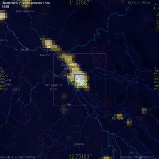
» NASA, Earths city lights 1995
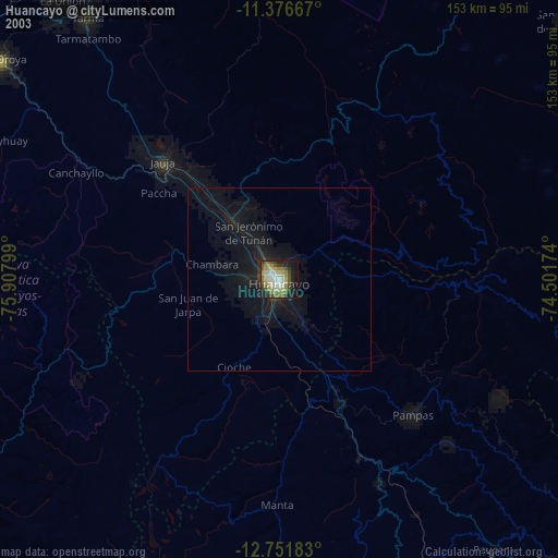
» NASA city lights 2003
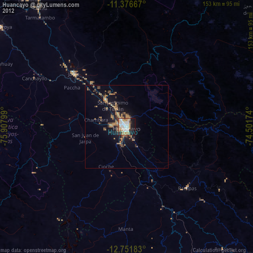
» Earth at Night: Flat Maps 2012, 2016