San Ramón night lights from space
Night Light of San Ramón (Junin) from space (Peru) Src. Average luminocity for 10x10km area is 4.3939% and for 50x50km: 0.7192%.
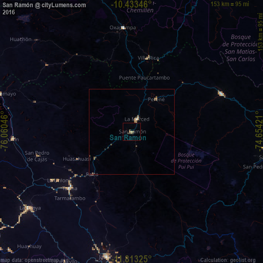
Analysis of San Ramón night lights 2016
Square area 10x10 km:
 0%
0%90-99
0%80-89
0%70-79
0.87%60-69
1.73%50-59
0.87%40-49
0.87%30-39
1.73%20-29
0%10-19
0.87%0-9
93.07%Square area 50x50 km:
0.03%90-99
0.03%80-89
0.02%70-79
0.1%60-69
0.22%50-59
0.2%40-49
0.28%30-39
0.14%20-29
0.09%10-19
0.04%0-9
98.84%Clear (daylight) street map image can be seen on geolist.org.
Map coordinates:
10° 26' 0.5" South, 76° 3' 37.7" West
11° 7' 27" South, 75° 21' 26.4" West
11° 48' 47.7" South, 74° 39' 15.2" West
Some cities around San Ramón sort by population:
• Tarma
48.9 km =30.4 mi,  227°
227°
• Junín
69.5 km =43.2 mi,  266°
266°
• Oxapampa
61 km =37.9 mi,  355°
355°
• Villa Rica
43.8 km =27.2 mi,  12°
12°
• Perené
24.7 km =15.3 mi,  36°
36°
• Acolla
70.6 km =43.9 mi,  196°
196°
• San Pedro de Cajas
56.7 km =35.2 mi,  255°
255°
• Huasahuasi
35.3 km =21.9 mi,  243°
243°
3929314 (p: 14,708)
Sources (retrieved 2019-11-25):
» Earth at Night: Flat Maps 2012, 2016