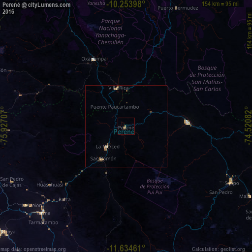
Perené night lights from space
Night Light of Perené (Junin) from space (Peru) Src. Average luminocity for 10x10km area is 2.5065% and for 50x50km: 0.7297%.
Analysis of Perené night lights 2016
Square area 10x10 km:
 0%
0%90-99
0%80-89
0%70-79
0.65%60-69
0.22%50-59
1.52%40-49
1.95%30-39
0%20-29
0%10-19
0%0-9
95.67%Square area 50x50 km:
0.03%90-99
0.03%80-89
0.05%70-79
0.1%60-69
0.28%50-59
0.21%40-49
0.18%30-39
0.14%20-29
0.06%10-19
0.04%0-9
98.88%Clear (daylight) street map image can be seen on geolist.org.
Map coordinates:
10° 15' 14.3" South, 75° 55' 37.5" West
10° 56' 42.4" South, 75° 13' 26.2" West
11° 38' 4.6" South, 74° 31' 15" West
Some cities around Perené sort by population:
• Tarma
73.2 km =45.5 mi,  223°
223°
• Satipo
72.4 km =45 mi,  118°
118°
• San Ramón
24.7 km =15.3 mi, 216°
• Oxapampa
45.2 km =28.1 mi,  334°
334°
• Villa Rica
23.4 km =14.5 mi,  347°
347°
• Mazamari
86.7 km =53.9 mi, 119°
• San Pedro de Cajas
77.4 km =48.1 mi,  243°
243°
• Huasahuasi
58.3 km =36.2 mi,  232°
232°
3932502 (p: 6,844)
Sources (retrieved 2019-11-25):
» Earth at Night: Flat Maps 2012, 2016