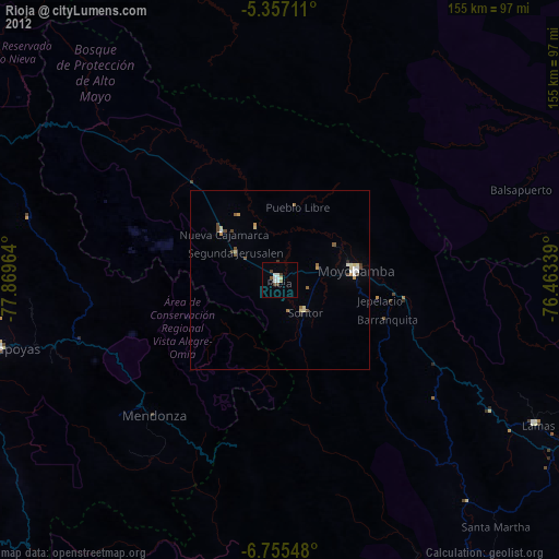
Rioja night lights from space
Night Light of Rioja (San Martín) from space (Peru) Src. Average luminocity for 10x10km area is 10.5558% and for 50x50km: 2.2936%.
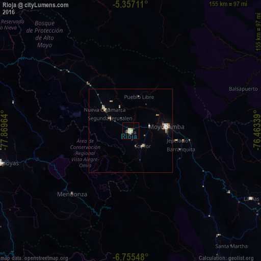
Analysis of Rioja night lights 2016
Square area 10x10 km:
 0.62%
0.62%90-99
2.69%80-89
2.48%70-79
0.83%60-69
0%50-59
3.31%40-49
0%30-39
0.83%20-29
0.83%10-19
0.83%0-9
87.6%Square area 50x50 km:
0.15%90-99
0.39%80-89
0.45%70-79
0.16%60-69
0.38%50-59
0.32%40-49
0.1%30-39
0.52%20-29
0.29%10-19
0.26%0-9
96.97%Clear (daylight) street map image can be seen on geolist.org.
Map coordinates:
5° 21' 25.6" South, 77° 52' 10.7" West
6° 3' 24.3" South, 77° 9' 59.4" West
6° 45' 19.7" South, 76° 27' 48.2" West
Some cities around Rioja sort by population:
• Moyobamba
21.7 km =13.5 mi,  83°
83°
• Chachapoyas
80.1 km =49.8 mi,  255°
255°
• Saposoa
106.8 km =66.4 mi,  155°
155°
• Tabalosos
62.6 km =38.9 mi,  121°
121°
• Lamas
80.6 km =50.1 mi, 119°
• Soritor
11.5 km =7.1 mi,  142°
142°
• Sisa
80.8 km =50.2 mi, 139°
• Jepelacio
24.8 km =15.4 mi,  105°
105°
3692863 (p: 25,057)
Sources (retrieved 2019-11-25):
» Earth at Night: Flat Maps 2012, 2016