Quiruvilca night lights from space
Night Light of Quiruvilca (La Libertad) from space (Peru) Src. Average luminocity for 10x10km area is 5.2149% and for 50x50km: 1.9862%.
Analysis of Quiruvilca night lights 2016
Square area 10x10 km:
 0%
0%90-99
0.21%80-89
2.27%70-79
0.83%60-69
0.83%50-59
0.21%40-49
1.45%30-39
0%20-29
0%10-19
1.45%0-9
92.77%Square area 50x50 km:
0.07%90-99
0.06%80-89
0.69%70-79
0.16%60-69
0.24%50-59
0.29%40-49
0.47%30-39
0.29%20-29
0.36%10-19
0.25%0-9
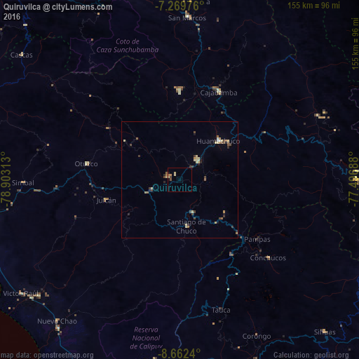
97.11%Clear (daylight) street map image can be seen on geolist.org.
Map coordinates:
7° 16' 11.1" South, 78° 54' 11.3" West
7° 58' 0" South, 78° 12' 0" West
8° 39' 44.6" South, 77° 29' 48.8" West
Some cities around Quiruvilca sort by population:
• Laredo
84.8 km =52.7 mi,  260°
260°
• Moche
91.9 km =57.1 mi, 255°
• Huamachuco
23.6 km =14.7 mi,  38°
38°
• Virú
78.6 km =48.8 mi,  230°
230°
• Cajabamba
42.3 km =26.3 mi,  23°
23°
• Otuzco
42.9 km =26.7 mi,  279°
279°
• Salaverry
90.1 km =56 mi,  251°
251°
• Santiago de Chuco
19.6 km =12.2 mi,  171°
171°
3692994 (p: 9,226)
Sources (retrieved 2019-11-25):
» Earth at Night: Flat Maps 2012, 2016