Catacocha night lights from space
Night Light of Catacocha (Loja) from space (Ecuador) Src. Average luminocity for 10x10km area is 5.1234% and for 50x50km: 0.7374%.
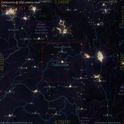
Analysis of Catacocha night lights 2016
Square area 10x10 km:
 0.43%
0.43%90-99
0.43%80-89
2.81%70-79
0.65%60-69
0%50-59
0%40-49
0.87%30-39
0%20-29
0.65%10-19
0.22%0-9
93.94%Square area 50x50 km:
0.02%90-99
0.02%80-89
0.25%70-79
0.14%60-69
0%50-59
0.1%40-49
0.16%30-39
0.29%20-29
0.17%10-19
0.11%0-9
98.74%Clear (daylight) street map image can be seen on geolist.org.
Map coordinates:
3° 20' 53.1" South, 80° 21' 9.3" West
4° 2' 59.1" South, 79° 38' 58" West
4° 45' 2.8" South, 78° 56' 46.8" West
Some cities around Catacocha sort by population:
• Loja
49.8 km =30.9 mi,  82°
82°
• Catamayo
33 km =20.5 mi, 77°
• Piñas
41.1 km =25.5 mi,  355°
355°
• Cariamanga
32.6 km =20.3 mi,  161°
161°
• Macará
49.3 km =30.6 mi,  221°
221°
• Zaruma
40.1 km =24.9 mi,  5°
5°
• Portovelo
36.6 km =22.7 mi,  4°
4°
• Celica
34.6 km =21.5 mi,  260°
260°
3659602 (p: 10,872)
Sources (retrieved 2019-11-25):
» Earth at Night: Flat Maps 2012, 2016