Celica night lights from space
Night Light of Celica (Loja) from space (Ecuador) Src. Average luminocity for 10x10km area is 2.842% and for 50x50km: 0.5387%.
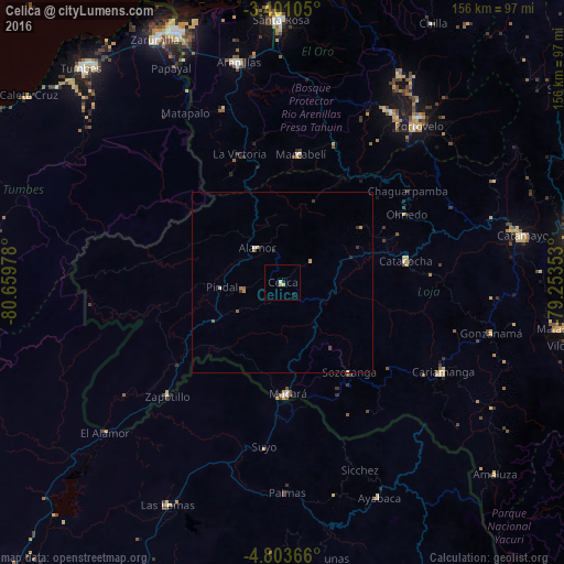
Analysis of Celica night lights 2016
Square area 10x10 km:
 0.65%
0.65%90-99
0.22%80-89
0.43%70-79
1.3%60-69
0%50-59
0%40-49
0%30-39
0%20-29
0%10-19
1.73%0-9
95.67%Square area 50x50 km:
0.05%90-99
0.02%80-89
0.12%70-79
0.14%60-69
0.08%50-59
0.1%40-49
0.03%30-39
0.13%20-29
0.08%10-19
0.1%0-9
99.15%Clear (daylight) street map image can be seen on geolist.org.
Map coordinates:
3° 24' 3.8" South, 80° 39' 35.2" West
4° 6' 9.6" South, 79° 57' 23.9" West
4° 48' 13.2" South, 79° 15' 12.7" West
Some cities around Celica sort by population:
• Catamayo
67.5 km =41.9 mi,  78°
78°
• Piñas
56 km =34.8 mi,  33°
33°
• Cariamanga
51 km =31.7 mi,  119°
119°
• Macará
31.1 km =19.3 mi,  177°
177°
• Zaruma
59.6 km =37 mi,  39°
39°
• Catacocha
34.6 km =21.5 mi, 80°
• Portovelo
56.4 km =35 mi, 41°
• Ayabaca, PE
65.5 km =40.7 mi,  155°
155°
3659544 (p: 5,499)
Sources (retrieved 2019-11-25):
» Earth at Night: Flat Maps 2012, 2016