Oman Smart Future City night lights from space
Night Light of Oman Smart Future City (Al Batinah South) from space (Oman) Src. Average luminocity for 10x10km area is 9.1905% and for 50x50km: 22.7574%.
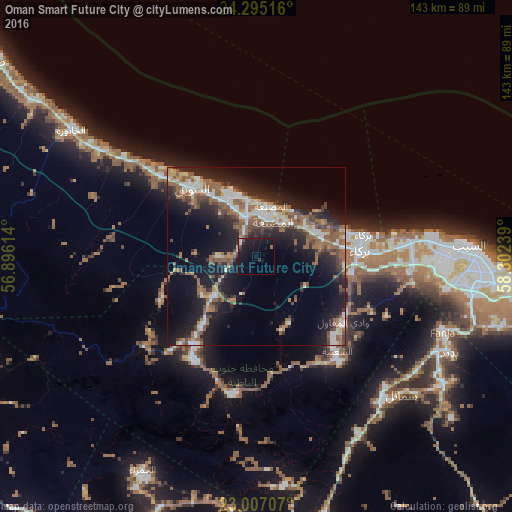
Analysis of Oman Smart Future City night lights 2016
Square area 10x10 km:
 0%
0%90-99
0.79%80-89
1.59%70-79
0%60-69
0.6%50-59
0.2%40-49
1.59%30-39
0.99%20-29
2.98%10-19
21.23%0-9
70.04%Square area 50x50 km:
2.91%90-99
3.44%80-89
1.32%70-79
1.69%60-69
4.04%50-59
6.72%40-49
3.13%30-39
3.26%20-29
7.67%10-19
16.8%0-9
49.03%Clear (daylight) street map image can be seen on geolist.org.
Map coordinates:
24° 17' 42.6" North, 56° 53' 46.1" East
23° 39' 9.7" North, 57° 35' 57.3" East
23° 0' 25.5" North, 58° 18' 8.6" East
Some cities around Oman Smart Future City sort by population:
• Seeb
60.1 km =37.3 mi,  88°
88°
• As Suwayq
27.3 km =17 mi,  323°
323°
• Barkā’
29.3 km =18.2 mi,  84°
84°
• Rustaq
34.1 km =21.2 mi,  211°
211°
• Al Khābūrah
62.5 km =38.8 mi,  304°
304°
• Sufālat Samā’il
56.6 km =35.2 mi,  131°
131°
• Bidbid
60.4 km =37.5 mi,  116°
116°
• Bayt al ‘Awābī
39.6 km =24.6 mi,  191°
191°
11809066 (p: 25,000)
Sources (retrieved 2019-11-25):
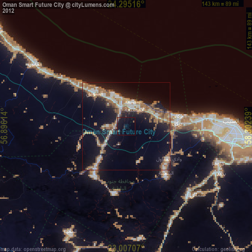
» Earth at Night: Flat Maps 2012, 2016