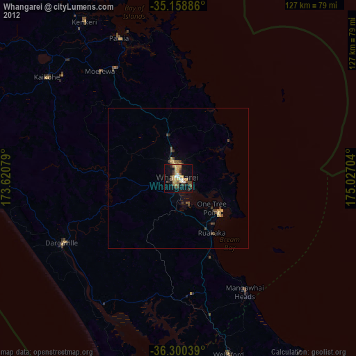
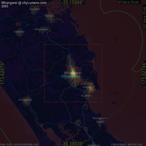
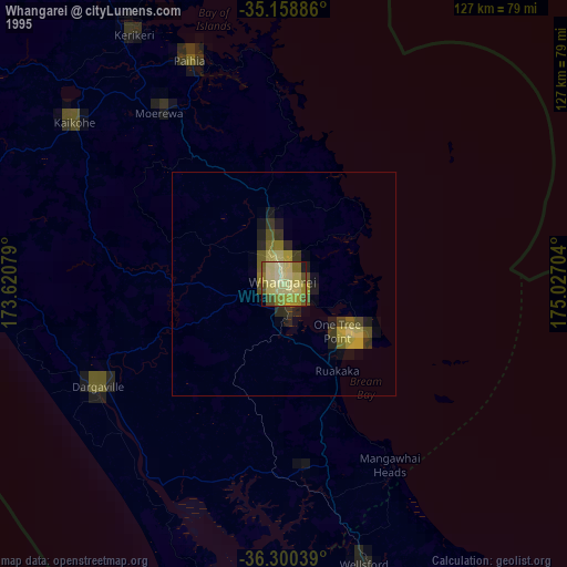
Whangarei night lights from space
Night Light of Whangarei (Northland) from space (New Zealand) Src. Average luminocity for 10x10km area is 29.8916% and for 50x50km: 1.8627%.

Analysis of Whangarei night lights 2016
Square area 10x10 km:
 0%
0%90-99
0%80-89
7.34%70-79
12.41%60-69
1.92%50-59
2.27%40-49
3.67%30-39
12.06%20-29
2.97%10-19
29.55%0-9
27.8%Square area 50x50 km:
0%90-99
0%80-89
0.39%70-79
0.64%60-69
0.14%50-59
0.17%40-49
0.26%30-39
0.79%20-29
0.17%10-19
1.31%0-9
96.14%Clear (daylight) street map image can be seen on geolist.org.
Map coordinates:
35° 9' 31.9" South, 173° 37' 14.8" East
35° 43' 54" South, 174° 19' 26.1" East
36° 18' 1.4" South, 175° 1' 37.3" East
Some cities around Whangarei sort by population:
• Auckland
130.3 km =81 mi,  162°
162°
• Manukau City
148.8 km =92.5 mi, 160°
• North Shore
124.8 km =77.5 mi, 162°
• Mangere
143.9 km =89.4 mi, 162°
• Papakura
158.4 km =98.4 mi, 159°
• Takanini
155.2 km =96.4 mi, 160°
• Pakuranga
138.6 km =86.1 mi, 157°
• Kerikeri
65.7 km =40.8 mi,  328°
328°
6230919 (p: 50,900)
Sources (retrieved 2019-11-25):
» NASA, Earths city lights 1995
» NASA city lights 2003
» Earth at Night: Flat Maps 2012, 2016