Papakura night lights from space
Night Light of Papakura (Auckland) from space (New Zealand) Src. Average luminocity for 10x10km area is 44.5306% and for 50x50km: 17.9913%.
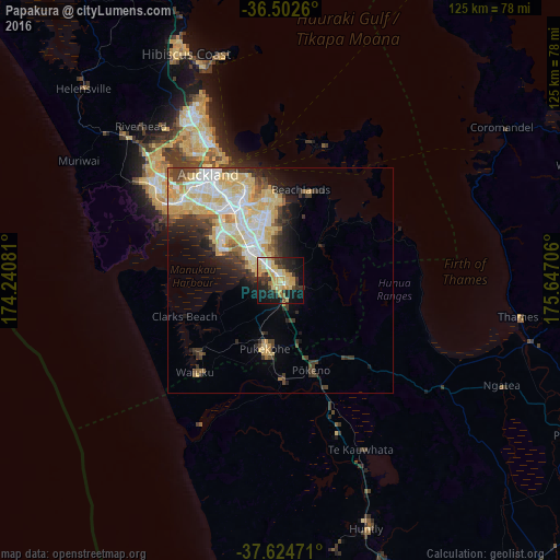
Analysis of Papakura night lights 2016
Square area 10x10 km:
 4.25%
4.25%90-99
4.08%80-89
15.65%70-79
10.88%60-69
3.06%50-59
1.36%40-49
4.25%30-39
9.52%20-29
12.41%10-19
26.02%0-9
8.5%Square area 50x50 km:
3.37%90-99
3.77%80-89
4.84%70-79
2.63%60-69
1.1%50-59
0.98%40-49
1.9%30-39
2.51%20-29
2.94%10-19
4.91%0-9
71.06%Clear (daylight) street map image can be seen on geolist.org.
Map coordinates:
36° 30' 9.4" South, 174° 14' 26.9" East
37° 3' 56.6" South, 174° 56' 38.1" East
37° 37' 29" South, 175° 38' 49.4" East
Some cities around Papakura sort by population:
• Auckland
29 km =18 mi,  326°
326°
• Manukau City
9.9 km =6.2 mi,  324°
324°
• North Shore
34.2 km =21.3 mi, 329°
• Mangere
16.9 km =10.5 mi,  310°
310°
• Pukekohe East
14.9 km =9.3 mi,  177°
177°
• Takanini
4.3 km =2.7 mi,  296°
296°
• Pakuranga
20.4 km =12.7 mi,  353°
353°
• Waiuku
27.5 km =17.1 mi,  222°
222°
2208329 (p: 28,010)
Sources (retrieved 2019-11-25):
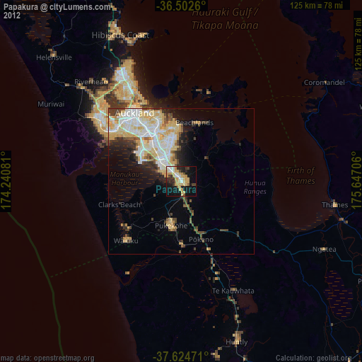
» Earth at Night: Flat Maps 2012, 2016