North Shore night lights from space
Night Light of North Shore (Auckland) from space (New Zealand) Src. Average luminocity for 10x10km area is 66.2517% and for 50x50km: 24.3345%.
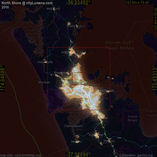
Analysis of North Shore night lights 2016
Square area 10x10 km:
 6.47%
6.47%90-99
8.92%80-89
21.85%70-79
19.58%60-69
5.94%50-59
8.57%40-49
12.06%30-39
6.82%20-29
8.04%10-19
1.75%0-9
0%Square area 50x50 km:
3.89%90-99
4.49%80-89
6.19%70-79
4.6%60-69
1.82%50-59
1.88%40-49
2.58%30-39
3.64%20-29
4.1%10-19
8.98%0-9
57.82%Clear (daylight) street map image can be seen on geolist.org.
Map coordinates:
36° 14' 5.7" South, 174° 2' 48.8" East
36° 48' 0" South, 174° 45' 0" East
37° 21' 39.4" South, 175° 27' 11.3" East
Some cities around North Shore sort by population:
• Auckland
5.5 km =3.4 mi,  167°
167°
• Manukau City
24.4 km =15.2 mi,  151°
151°
• Mangere
19.2 km =11.9 mi, 166°
• Papakura
34.2 km =21.3 mi, 149°
• Pukekohe East
47.9 km =29.8 mi,  158°
158°
• Takanini
30.7 km =19.1 mi, 154°
• Pakuranga
17.5 km =10.9 mi,  121°
121°
• Waiuku
49.8 km =30.9 mi,  181°
181°
2185964 (p: 207,865)
Sources (retrieved 2019-11-25):
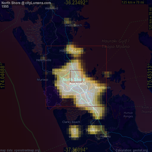
» NASA, Earths city lights 1995
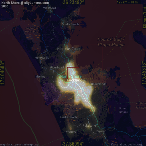
» NASA city lights 2003
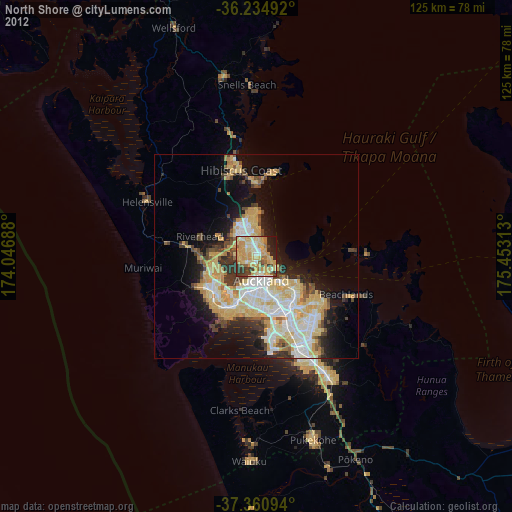
» Earth at Night: Flat Maps 2012, 2016