Manukau City night lights from space
Night Light of Manukau City (Auckland) from space (New Zealand) Src. Average luminocity for 10x10km area is 82.2711% and for 50x50km: 22.9551%.
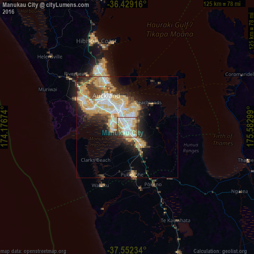
Analysis of Manukau City night lights 2016
Square area 10x10 km:
 23.86%
90-99
26.14%80-89
22.08%70-79
4.22%60-69
6.66%50-59
5.68%40-49
5.03%30-39
2.92%20-29
3.41%10-19
0%0-9
0%Square area 50x50 km:
3.75%90-99
4.3%80-89
6.18%70-79
4.29%60-69
1.65%50-59
1.5%40-49
2.43%30-39
3.49%20-29
4.15%10-19
6.58%0-9
61.68%Clear (daylight) street map image can be seen on geolist.org.
Map coordinates:
36° 25' 45" South, 174° 10' 36.3" East
36° 59' 34.2" South, 174° 52' 47.5" East
37° 33' 8.4" South, 175° 34' 58.8" East
Some cities around Manukau City sort by population:
• Auckland
19.1 km =11.9 mi,  327°
327°
• North Shore
24.4 km =15.2 mi, 331°
• Mangere
7.7 km =4.8 mi,  290°
290°
• Papakura
9.9 km =6.2 mi,  144°
144°
• Pukekohe East
23.9 km =14.9 mi,  164°
164°
• Takanini
6.4 km =4 mi, 163°
• Pakuranga
12.6 km =7.8 mi,  15°
15°
• Waiuku
31.2 km =19.4 mi,  204°
204°
2187404 (p: 362,000)
Sources (retrieved 2019-11-25):
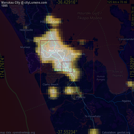
» NASA, Earths city lights 1995
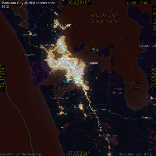
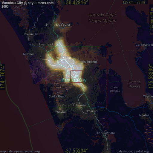
» NASA city lights 2003
» Earth at Night: Flat Maps 2012, 2016