Auckland night lights from space
Night Light of Auckland from space (New Zealand) Src. Average luminocity for 10x10km area is 75.5925% and for 50x50km: 25.0004%.
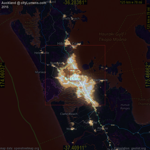
Analysis of Auckland night lights 2016
Square area 10x10 km:
 18.02%
90-99
20.45%80-89
14.45%70-79
14.94%60-69
4.38%50-59
5.52%40-49
13.31%30-39
6.33%20-29
2.44%10-19
0.16%0-9
0%Square area 50x50 km:
4%90-99
4.64%80-89
6.43%70-79
4.62%60-69
1.82%50-59
1.76%40-49
2.63%30-39
3.83%20-29
4.77%10-19
9.27%0-9
56.24%Clear (daylight) street map image can be seen on geolist.org.
Map coordinates:
36° 17' 1.7" South, 174° 3' 37.3" East
36° 50' 54.7" South, 174° 45' 48.6" East
37° 24' 32.8" South, 175° 27' 59.8" East
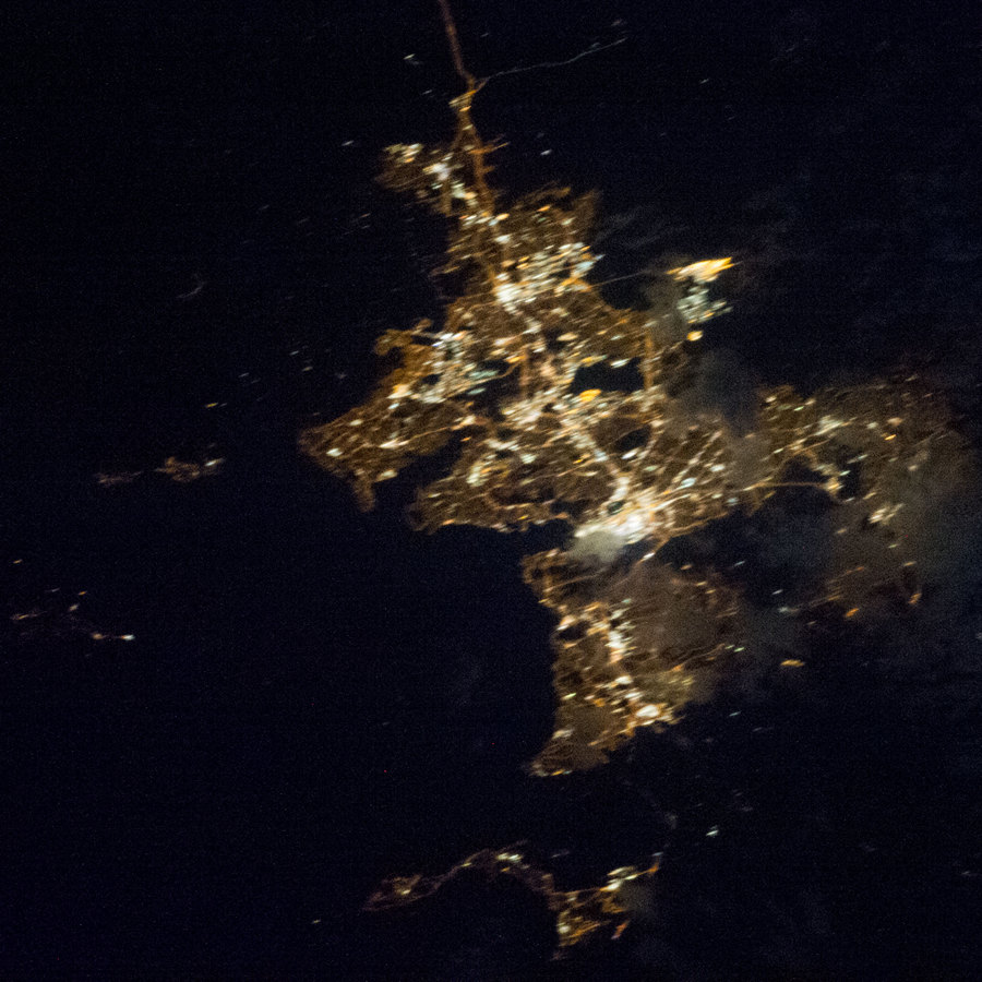
Fantastic image of Auckland from space taken by astronauts [src2], but I don't have information about it's orientation, scale or angle. If necessary, it was rotated manually, so North points approximately to upper direction. Click to zoom in:
Some cities around Auckland sort by population:
• Manukau City
19.1 km =11.9 mi,  147°
147°
• North Shore
5.5 km =3.4 mi,  347°
347°
• Mangere
13.7 km =8.5 mi,  166°
166°
• Papakura
29 km =18 mi, 146°
• Pukekohe East
42.4 km =26.3 mi,  157°
157°
• Takanini
25.3 km =15.7 mi, 151°
• Pakuranga
14.2 km =8.8 mi,  105°
105°
• Waiuku
44.5 km =27.7 mi,  183°
183°
2193733 (p: 417,910)
Sources (retrieved 2019-11-25):
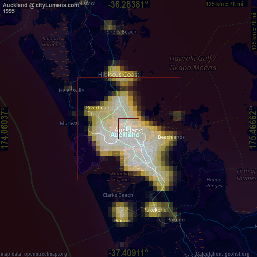
» NASA, Earths city lights 1995
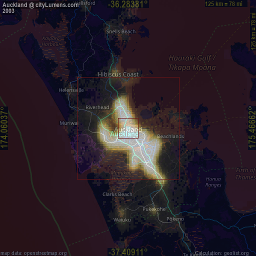
» NASA city lights 2003
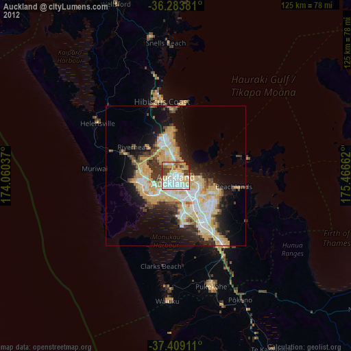
» Earth at Night: Flat Maps 2012, 2016
Src.2: NASA.gov ID: ISS035-E-8206, 2013-03-23