Pakuranga night lights from space
Night Light of Pakuranga (Auckland) from space (New Zealand) Src. Average luminocity for 10x10km area is 48.0438% and for 50x50km: 23.2777%.
Analysis of Pakuranga night lights 2016
Square area 10x10 km:
 3.57%
3.57%90-99
5.52%80-89
20.94%70-79
10.71%60-69
3.08%50-59
3.57%40-49
5.68%30-39
3.73%20-29
9.9%10-19
20.94%0-9
12.34%Square area 50x50 km:
3.96%90-99
4.53%80-89
6.08%70-79
4.25%60-69
1.66%50-59
1.55%40-49
2.27%30-39
3.38%20-29
4.22%10-19
7.82%0-9
60.28%Clear (daylight) street map image can be seen on geolist.org.
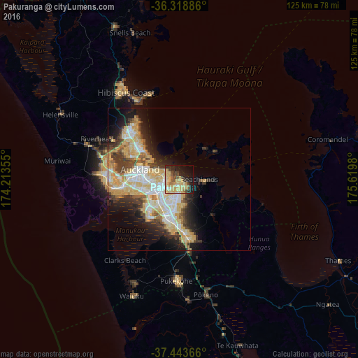
Map coordinates:
36° 19' 7.9" South, 174° 12' 48.8" East
36° 52' 60" South, 174° 55' 0" East
37° 26' 37.2" South, 175° 37' 11.3" East
Some cities around Pakuranga sort by population:
• Auckland
14.2 km =8.8 mi,  285°
285°
• Manukau City
12.6 km =7.8 mi,  195°
195°
• North Shore
17.5 km =10.9 mi,  301°
301°
• Mangere
14.1 km =8.8 mi,  228°
228°
• Papakura
20.4 km =12.7 mi,  173°
173°
• Pukekohe East
35.3 km =21.9 mi,  175°
175°
• Takanini
18.4 km =11.4 mi, 184°
• Waiuku
43.6 km =27.1 mi, 201°
6232082 (p: 8,907)
Sources (retrieved 2019-11-25):
» Earth at Night: Flat Maps 2012, 2016