Paraparaumu night lights from space
Night Light of Paraparaumu (Wellington) from space (New Zealand) Src. Average luminocity for 10x10km area is 22.1769% and for 50x50km: 2.9664%.

Analysis of Paraparaumu night lights 2016
Square area 10x10 km:
 1.36%
1.36%90-99
1.36%80-89
3.06%70-79
3.74%60-69
4.08%50-59
3.74%40-49
3.91%30-39
6.12%20-29
5.61%10-19
13.27%0-9
53.74%Square area 50x50 km:
0.12%90-99
0.34%80-89
0.36%70-79
0.51%60-69
0.45%50-59
0.53%40-49
0.32%30-39
0.57%20-29
0.68%10-19
2.17%0-9
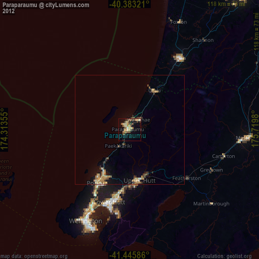
93.93%Clear (daylight) street map image can be seen on geolist.org.
Map coordinates:
40° 22' 59.6" South, 174° 18' 48.8" East
40° 55' 0" South, 175° 1' 0" East
41° 26' 45.1" South, 175° 43' 11.3" East
Some cities around Paraparaumu sort by population:
• Wellington
45.8 km =28.5 mi,  206°
206°
• Lower Hutt
34.4 km =21.4 mi,  194°
194°
• Porirua
27.9 km =17.3 mi, 210°
• Upper Hutt
24.8 km =15.4 mi,  173°
173°
• Levin
38.3 km =23.8 mi,  34°
34°
• Khandallah
41 km =25.5 mi, 207°
• Petone
36.8 km =22.9 mi,  199°
199°
• Otaki
20.9 km =13 mi, 32°
2184904 (p: 25,263)
Sources (retrieved 2019-11-25):
» Earth at Night: Flat Maps 2012, 2016