Masterton night lights from space
Night Light of Masterton (Wellington) from space (New Zealand) Src. Average luminocity for 10x10km area is 14.9048% and for 50x50km: 0.7286%.
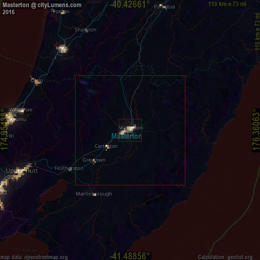
Analysis of Masterton night lights 2016
Square area 10x10 km:
 1.7%
1.7%90-99
2.38%80-89
1.36%70-79
1.36%60-69
2.72%50-59
1.87%40-49
2.21%30-39
3.4%20-29
2.04%10-19
1.02%0-9
79.93%Square area 50x50 km:
0.06%90-99
0.1%80-89
0.07%70-79
0.08%60-69
0.1%50-59
0.1%40-49
0.16%30-39
0.16%20-29
0.12%10-19
0.05%0-9
99%Clear (daylight) street map image can be seen on geolist.org.
Map coordinates:
40° 25' 35.8" South, 174° 57' 15.8" East
40° 57' 35" South, 175° 39' 27" East
41° 29' 18.8" South, 176° 21' 38.3" East
Some cities around Masterton sort by population:
• Lower Hutt
68.3 km =42.4 mi,  245°
245°
• Palmerston North
67.2 km =41.8 mi,  356°
356°
• Porirua
70.4 km =43.7 mi, 254°
• Upper Hutt
54.7 km =34 mi, 248°
• Paraparaumu
54 km =33.6 mi,  275°
275°
• Levin
48.5 km =30.1 mi,  318°
318°
• Otaki
48.2 km =30 mi,  297°
297°
• Linton Military Camp
62.2 km =38.6 mi,  354°
354°
2206890 (p: 20,698)
Sources (retrieved 2019-11-25):
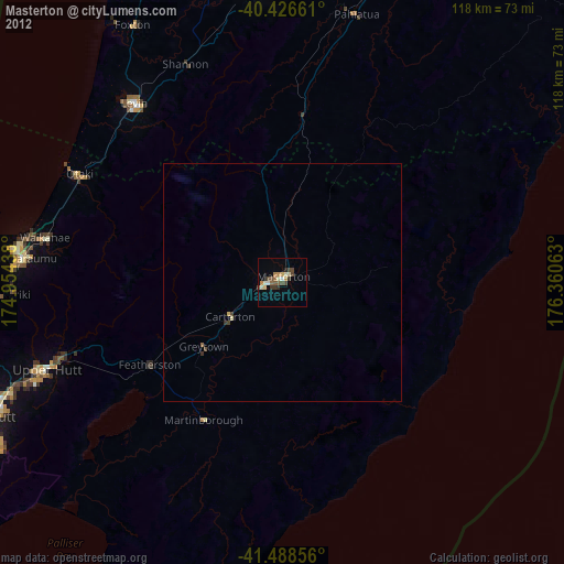
» Earth at Night: Flat Maps 2012, 2016