Pūranpur night lights from space
Night Light of Pūranpur (Uttar Pradesh) from space (India) Src. Average luminocity for 10x10km area is 13.4325% and for 50x50km: 0.6868%.
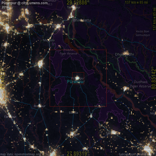
Analysis of Pūranpur night lights 2016
Square area 10x10 km:
 1.39%
1.39%90-99
2.58%80-89
3.17%70-79
0.79%60-69
1.59%50-59
0.6%40-49
1.98%30-39
2.38%20-29
0.79%10-19
1.98%0-9
82.74%Square area 50x50 km:
0.05%90-99
0.1%80-89
0.15%70-79
0.03%60-69
0.07%50-59
0.07%40-49
0.12%30-39
0.16%20-29
0.08%10-19
0.18%0-9
99%Clear (daylight) street map image can be seen on geolist.org.
Map coordinates:
29° 7' 43.9" North, 79° 26' 42.6" East
28° 30' 46.2" North, 80° 8' 53.8" East
27° 53' 35.5" North, 80° 51' 5.1" East
Some cities around Pūranpur sort by population:
• Pīlibhīt
36.1 km =22.4 mi,  291°
291°
• Bīsalpur
41.6 km =25.8 mi,  233°
233°
• Khūtār
36.5 km =22.7 mi,  160°
160°
• Bilsanda
35.6 km =22.1 mi,  212°
212°
• Mailāni
31.2 km =19.4 mi,  142°
142°
• Barkhera Kalān
34.1 km =21.2 mi,  258°
258°
• Kālīnagar
13.6 km =8.5 mi,  331°
331°
• Mohanpur
30.4 km =18.9 mi, 161°
1259190 (p: 39,988)
Sources (retrieved 2019-11-25):
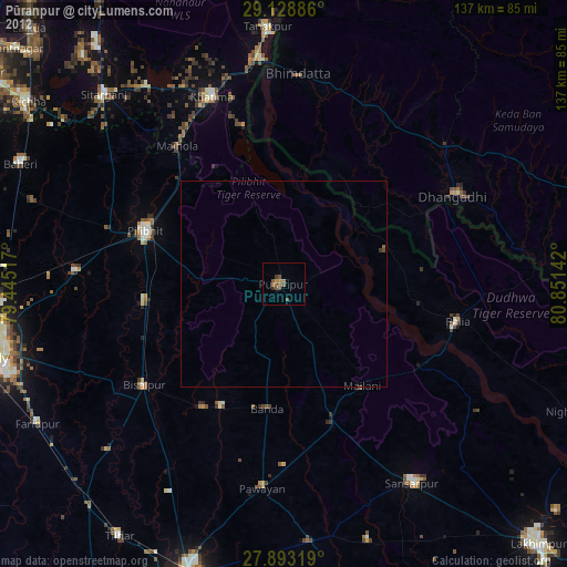
» Earth at Night: Flat Maps 2012, 2016