Zaandijk night lights from space
Night Light of Zaandijk (North Holland) from space (Netherlands) Src. Average luminocity for 10x10km area is 51.7109% and for 50x50km: 33.4263%.
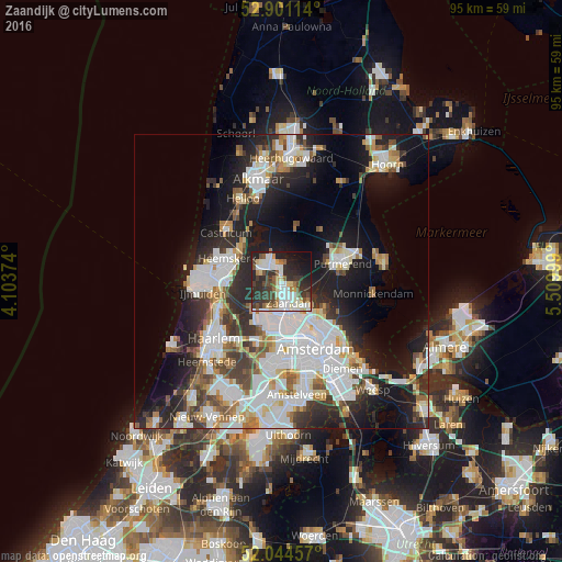
Analysis of Zaandijk night lights 2016
Square area 10x10 km:
 11.49%
90-99
13.64%80-89
4.67%70-79
2.9%60-69
4.92%50-59
5.56%40-49
7.58%30-39
13.51%20-29
18.69%10-19
12.75%0-9
4.29%Square area 50x50 km:
9.47%90-99
8.2%80-89
2.61%70-79
2.73%60-69
3.31%50-59
3.03%40-49
3.13%30-39
4.37%20-29
8.82%10-19
14.57%0-9
39.76%Clear (daylight) street map image can be seen on geolist.org.
Map coordinates:
52° 54' 4.1" North, 4° 6' 13.5" East
52° 28' 29.8" North, 4° 48' 24.7" East
52° 2' 40.5" North, 5° 30' 36" East
Some cities around Zaandijk sort by population:
• Amsterdam
12.5 km =7.8 mi,  153°
153°
• Zaanstad
2.5 km =1.6 mi,  169°
169°
• Purmerend
10.9 km =6.8 mi,  72°
72°
• Velsen-Zuid
10.8 km =6.7 mi,  261°
261°
• Beverwijk
10.2 km =6.3 mi,  275°
275°
• Heemskerk
10 km =6.2 mi,  293°
293°
• Castricum
12.4 km =7.7 mi,  311°
311°
• Uitgeest
8.9 km =5.5 mi, 312°
2744116 (p: 9,040)
Sources (retrieved 2019-11-25):
» Earth at Night: Flat Maps 2012, 2016