Velsen-Zuid night lights from space
Night Light of Velsen-Zuid (North Holland) from space (Netherlands) Src. Average luminocity for 10x10km area is 62.0934% and for 50x50km: 30.7523%.
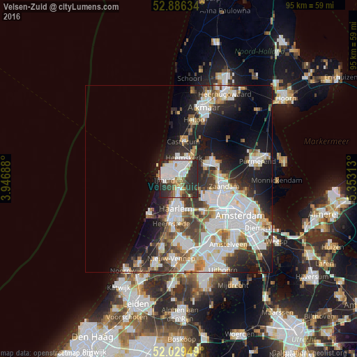
Analysis of Velsen-Zuid night lights 2016
Square area 10x10 km:
 18.18%
90-99
18.56%80-89
4.29%70-79
4.67%60-69
3.79%50-59
5.81%40-49
4.42%30-39
12.88%20-29
25.88%10-19
1.52%0-9
0%Square area 50x50 km:
9.21%90-99
7.79%80-89
2.27%70-79
2.44%60-69
3.02%50-59
2.76%40-49
3.02%30-39
4.2%20-29
7.74%10-19
10.81%0-9
46.74%Clear (daylight) street map image can be seen on geolist.org.
Map coordinates:
52° 53' 10.8" North, 3° 56' 48.8" East
52° 27' 36" North, 4° 39' 0" East
52° 1' 46.2" North, 5° 21' 11.3" East
Some cities around Velsen-Zuid sort by population:
• Haarlem
8.8 km =5.5 mi,  185°
185°
• Zaanstad
11.1 km =6.9 mi,  93°
93°
• Zaandam
12.2 km =7.6 mi,  101°
101°
• Beverwijk
2.6 km =1.6 mi,  10°
10°
• Heemskerk
5.9 km =3.7 mi, 14°
• Castricum
9.9 km =6.2 mi, 7°
• Uitgeest
8.7 km =5.4 mi,  27°
27°
• Zaandijk
10.8 km =6.7 mi,  81°
81°
2745673 (p: 67,758)
Sources (retrieved 2019-11-25):
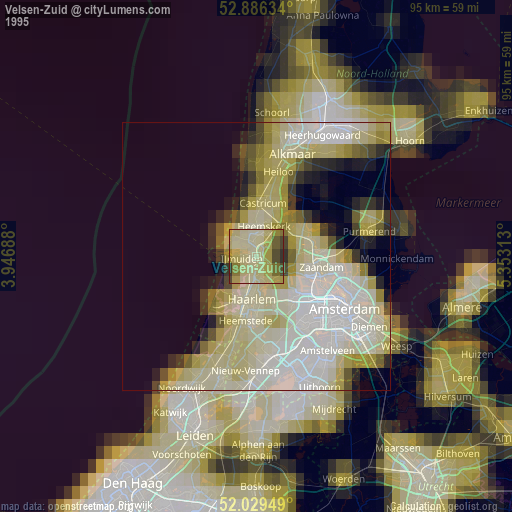
» NASA, Earths city lights 1995
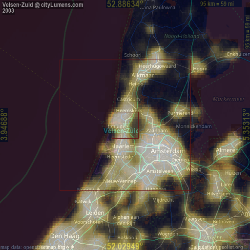
» NASA city lights 2003
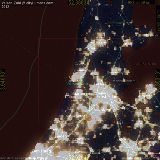
» Earth at Night: Flat Maps 2012, 2016