Castricum night lights from space
Night Light of Castricum (North Holland) from space (Netherlands) Src. Average luminocity for 10x10km area is 30.5556% and for 50x50km: 23.249%.
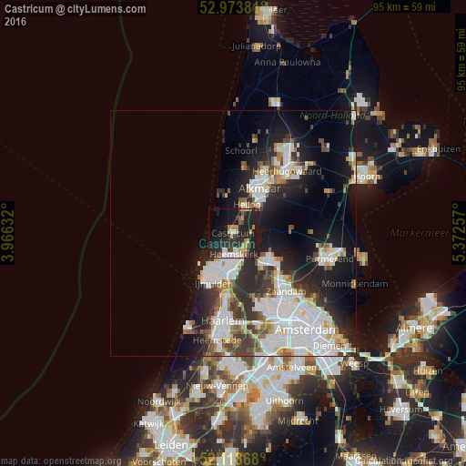
Analysis of Castricum night lights 2016
Square area 10x10 km:
 3.57%
3.57%90-99
3.31%80-89
1.85%70-79
6.08%60-69
2.51%50-59
3.04%40-49
2.51%30-39
5.56%20-29
26.19%10-19
30.29%0-9
15.08%Square area 50x50 km:
6.68%90-99
5.47%80-89
1.8%70-79
1.7%60-69
2.01%50-59
2.08%40-49
2.1%30-39
3.26%20-29
6.69%10-19
11.35%0-9
56.87%Clear (daylight) street map image can be seen on geolist.org.
Map coordinates:
52° 58' 25.7" North, 3° 57' 58.8" East
52° 32' 54" North, 4° 40' 10" East
52° 7' 7.2" North, 5° 22' 21.3" East
Some cities around Castricum sort by population:
• Alkmaar
10.7 km =6.6 mi,  29°
29°
• Velsen-Zuid
9.9 km =6.2 mi,  187°
187°
• Beverwijk
7.3 km =4.5 mi, 186°
• Heemskerk
4.1 km =2.5 mi,  177°
177°
• Heiloo
6.2 km =3.9 mi,  11°
11°
• Uitgeest
3.5 km =2.2 mi,  128°
128°
• Zaandijk
12.4 km =7.7 mi, 131°
• Limmen
2.9 km =1.8 mi,  36°
36°
2757991 (p: 35,256)
Sources (retrieved 2019-11-25):
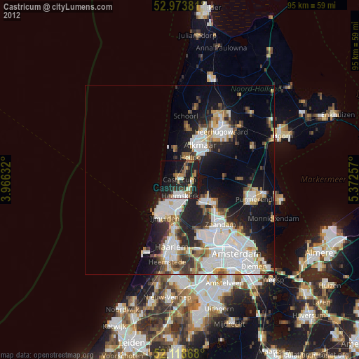
» Earth at Night: Flat Maps 2012, 2016