Heemskerk night lights from space
Night Light of Heemskerk (North Holland) from space (Netherlands) Src. Average luminocity for 10x10km area is 52.131% and for 50x50km: 27.3992%.
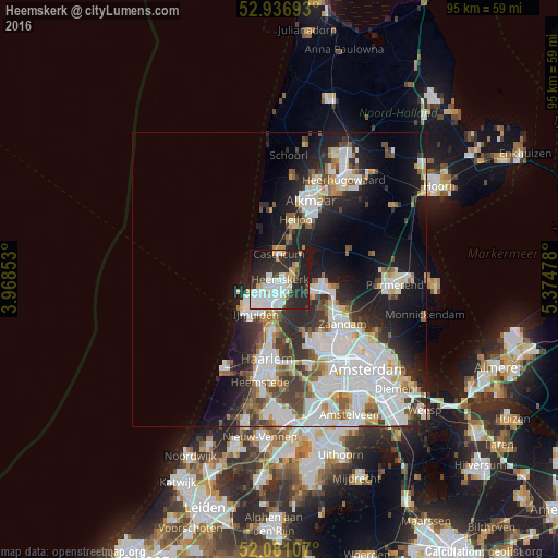
Analysis of Heemskerk night lights 2016
Square area 10x10 km:
 15.87%
90-99
15.08%80-89
2.65%70-79
5.42%60-69
1.19%50-59
1.72%40-49
2.78%30-39
6.88%20-29
32.14%10-19
14.42%0-9
1.85%Square area 50x50 km:
8.32%90-99
6.75%80-89
2.08%70-79
1.97%60-69
2.46%50-59
2.44%40-49
2.65%30-39
3.55%20-29
6.94%10-19
11.21%0-9
51.64%Clear (daylight) street map image can be seen on geolist.org.
Map coordinates:
52° 56' 12.9" North, 3° 58' 6.7" East
52° 30' 39.9" North, 4° 40' 17.9" East
52° 4' 51.9" North, 5° 22' 29.2" East
Some cities around Heemskerk sort by population:
• Zaanstad
11.6 km =7.2 mi,  123°
123°
• Velsen-Zuid
5.9 km =3.7 mi,  194°
194°
• Beverwijk
3.2 km =2 mi,  197°
197°
• Castricum
4.1 km =2.5 mi,  357°
357°
• Heiloo
10.2 km =6.3 mi,  6°
6°
• Uitgeest
3.3 km =2.1 mi,  52°
52°
• Zaandijk
10 km =6.2 mi,  113°
113°
• Limmen
6.6 km =4.1 mi, 13°
2754697 (p: 36,170)
Sources (retrieved 2019-11-25):
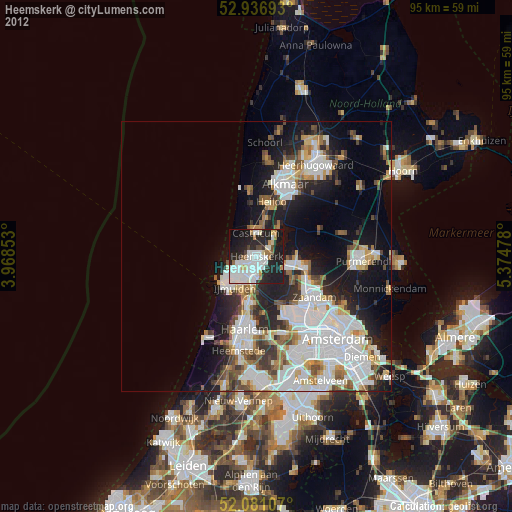
» Earth at Night: Flat Maps 2012, 2016