Beverwijk night lights from space
Night Light of Beverwijk (North Holland) from space (Netherlands) Src. Average luminocity for 10x10km area is 61.9394% and for 50x50km: 29.4362%.
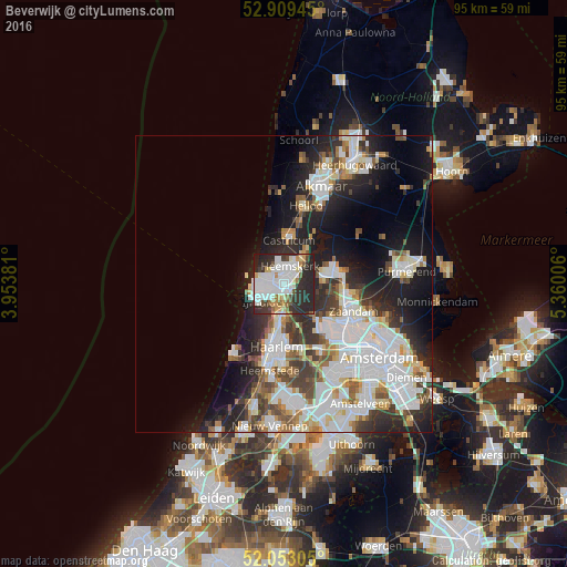
Analysis of Beverwijk night lights 2016
Square area 10x10 km:
 19.32%
90-99
19.07%80-89
3.79%70-79
5.18%60-69
3.16%50-59
4.29%40-49
4.17%30-39
10.48%20-29
28.28%10-19
2.27%0-9
0%Square area 50x50 km:
8.88%90-99
7.29%80-89
2.23%70-79
2.3%60-69
2.75%50-59
2.66%40-49
2.81%30-39
3.96%20-29
7.68%10-19
10.83%0-9
48.61%Clear (daylight) street map image can be seen on geolist.org.
Map coordinates:
52° 54' 34" North, 3° 57' 13.7" East
52° 28' 60" North, 4° 39' 25" East
52° 3' 11" North, 5° 21' 36.2" East
Some cities around Beverwijk sort by population:
• Haarlem
11.5 km =7.1 mi,  186°
186°
• Zaanstad
11.1 km =6.9 mi,  107°
107°
• Velsen-Zuid
2.6 km =1.6 mi, 190°
• Heemskerk
3.2 km =2 mi,  17°
17°
• Castricum
7.3 km =4.5 mi,  6°
6°
• Uitgeest
6.2 km =3.9 mi,  35°
35°
• Zaandijk
10.2 km =6.3 mi,  95°
95°
• Limmen
9.9 km =6.2 mi, 14°
2758998 (p: 37,585)
Sources (retrieved 2019-11-25):
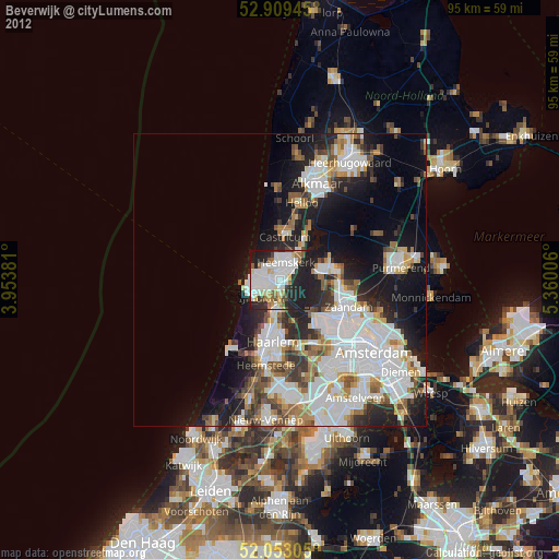
» Earth at Night: Flat Maps 2012, 2016