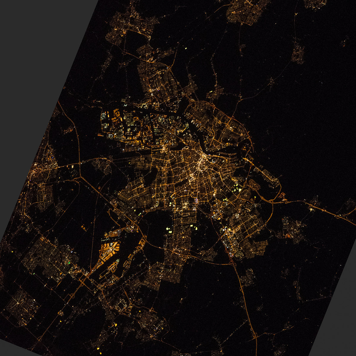
Amsterdam night lights from space
Night Light of Amsterdam (North Holland) from space (Netherlands) Src. Average luminocity for 10x10km area is 95.1591% and for 50x50km: 38.307%.
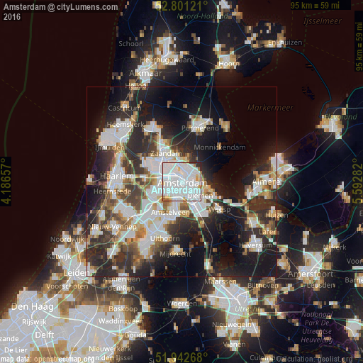
Analysis of Amsterdam night lights 2016
Square area 10x10 km:
 58.33%
90-99
28.91%80-89
4.04%70-79
3.41%60-69
1.14%50-59
1.26%40-49
0.25%30-39
1.77%20-29
0.88%10-19
0%0-9
0%Square area 50x50 km:
9.99%90-99
9.1%80-89
2.77%70-79
3.32%60-69
4%50-59
3.44%40-49
4.42%30-39
6.11%20-29
12.19%10-19
16.75%0-9
27.91%Clear (daylight) street map image can be seen on geolist.org.
Map coordinates:
52° 48' 4.4" North, 4° 11' 11.7" East
52° 22' 26.5" North, 4° 53' 22.9" East
51° 56' 33.6" North, 5° 35' 34.2" East
Fantastic image of Amsterdam from space taken by astronauts [src2], but I don't have information about it's orientation, scale or angle. If necessary, it was rotated manually, so North points approximately to upper direction. Click to zoom in:
Some cities around Amsterdam sort by population:
• Zaanstad
10.2 km =6.3 mi,  329°
329°
• Zaandam
8.4 km =5.2 mi, 329°
• Diemen
6.3 km =3.9 mi,  127°
127°
• Weesp
12.7 km =7.9 mi, 125°
• Zaandijk
12.5 km =7.8 mi, 333°
• Ouderkerk aan de Amstel
8.9 km =5.5 mi,  172°
172°
• Oosteinde
12.3 km =7.6 mi,  211°
211°
• Abcoude
12.5 km =7.8 mi,  154°
154°
2759794 (p: 741,636)
Sources (retrieved 2019-11-25):
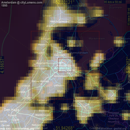
» NASA, Earths city lights 1995
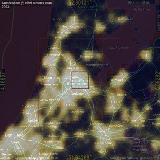
» NASA city lights 2003
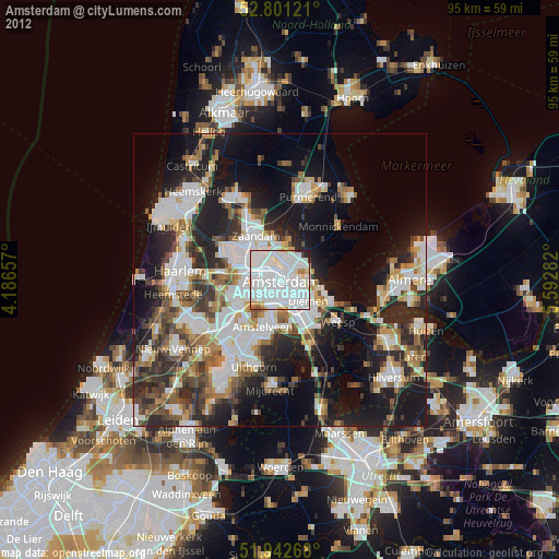
» Earth at Night: Flat Maps 2012, 2016
Src.2: NASA.gov ID: ISS047-E-47033, 2016-04-06