Purmerend night lights from space
Night Light of Purmerend (North Holland) from space (Netherlands) Src. Average luminocity for 10x10km area is 30.2394% and for 50x50km: 33.9251%.
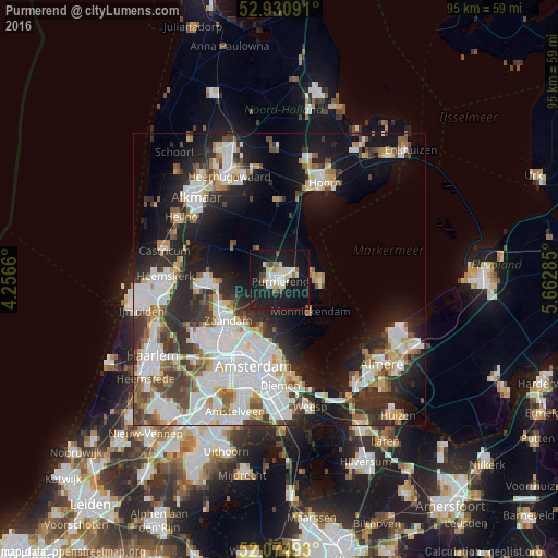

Analysis of Purmerend night lights 2016
Square area 10x10 km:
 4.76%
4.76%90-99
7.41%80-89
4.5%70-79
1.32%60-69
1.98%50-59
1.32%40-49
3.31%30-39
0.66%20-29
4.76%10-19
54.5%0-9
15.48%Square area 50x50 km:
9.23%90-99
8.35%80-89
2.67%70-79
2.95%60-69
3.31%50-59
3.1%40-49
3.41%30-39
4.42%20-29
8.64%10-19
15.94%0-9
37.99%Clear (daylight) street map image can be seen on geolist.org.
Map coordinates:
52° 55' 51.3" North, 4° 15' 23.8" East
52° 30' 18" North, 4° 57' 35" East
52° 4' 29.7" North, 5° 39' 46.3" East
Some cities around Purmerend sort by population:
• Amsterdam
15.3 km =9.5 mi,  198°
198°
• Zaanstad
11.5 km =7.1 mi,  239°
239°
• Zaandam
11.7 km =7.3 mi,  230°
230°
• Hoorn
16.7 km =10.4 mi,  23°
23°
• Volendam
7.6 km =4.7 mi,  98°
98°
• Uitgeest
17.1 km =10.6 mi,  279°
279°
• Zaandijk
10.9 km =6.8 mi,  252°
252°
• Edam
6 km =3.7 mi,  82°
82°
2748413 (p: 76,745)
Sources (retrieved 2019-11-25):
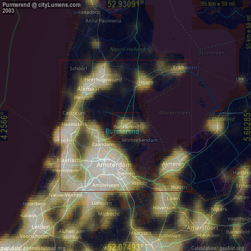
» NASA, Earths city lights 1995
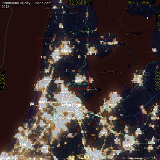
» NASA city lights 2003
» Earth at Night: Flat Maps 2012, 2016