Vught night lights from space
Night Light of Vught (North Brabant) from space (Netherlands) Src. Average luminocity for 10x10km area is 39.1317% and for 50x50km: 27.3967%.

Analysis of Vught night lights 2016
Square area 10x10 km:
 7.28%
7.28%90-99
7.42%80-89
2.66%70-79
4.62%60-69
4.76%50-59
2.66%40-49
3.5%30-39
10.08%20-29
17.09%10-19
32.91%0-9
7%Square area 50x50 km:
4.73%90-99
5.26%80-89
2.25%70-79
2.66%60-69
2.87%50-59
3.21%40-49
2.87%30-39
3.57%20-29
9.27%10-19
28.26%0-9
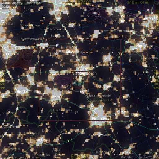
35.05%Clear (daylight) street map image can be seen on geolist.org.
Map coordinates:
52° 5' 14.9" North, 4° 35' 3.7" East
51° 39' 12" North, 5° 17' 15" East
51° 12' 54" North, 5° 59' 26.2" East
Some cities around Vught sort by population:
• 's-Hertogenbosch
5.2 km =3.2 mi,  12°
12°
• Boxtel
7.5 km =4.7 mi,  157°
157°
• Oisterwijk
10.7 km =6.6 mi,  219°
219°
• Schijndel
10.5 km =6.5 mi,  108°
108°
• De Kruiskamp
5.5 km =3.4 mi,  340°
340°
• Heeswijk-Dinther
12.9 km =8 mi,  91°
91°
• Udenhout
11.1 km =6.9 mi,  243°
243°
• Kerkdriel
13.6 km =8.5 mi, 13°
2745154 (p: 25,043)
Sources (retrieved 2019-11-25):
» Earth at Night: Flat Maps 2012, 2016