Schijndel night lights from space
Night Light of Schijndel (North Brabant) from space (Netherlands) Src. Average luminocity for 10x10km area is 21.1778% and for 50x50km: 27.1988%.
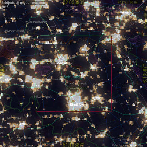
Analysis of Schijndel night lights 2016
Square area 10x10 km:
 0.94%
0.94%90-99
1.6%80-89
0.67%70-79
2.01%60-69
4.28%50-59
3.07%40-49
3.61%30-39
3.34%20-29
2.67%10-19
49.33%0-9
28.48%Square area 50x50 km:
4.56%90-99
5.07%80-89
2.27%70-79
2.84%60-69
3.25%50-59
3.42%40-49
2.77%30-39
3.42%20-29
8.7%10-19
28.44%0-9
35.28%Clear (daylight) street map image can be seen on geolist.org.
Map coordinates:
52° 3' 24.9" North, 4° 43' 43.8" East
51° 37' 21" North, 5° 25' 55" East
51° 11' 1.9" North, 6° 8' 6.3" East
Some cities around Schijndel sort by population:
• 's-Hertogenbosch
12.3 km =7.6 mi,  314°
314°
• Boxtel
7.9 km =4.9 mi,  243°
243°
• Best
13.1 km =8.1 mi,  192°
192°
• Veghel
8.1 km =5 mi,  94°
94°
• Vught
10.5 km =6.5 mi,  288°
288°
• Sint-Oedenrode
6.4 km =4 mi,  162°
162°
• Heeswijk-Dinther
4.3 km =2.7 mi,  43°
43°
• Nistelrode
12.8 km =8 mi, 44°
2747584 (p: 23,239)
Sources (retrieved 2019-11-25):
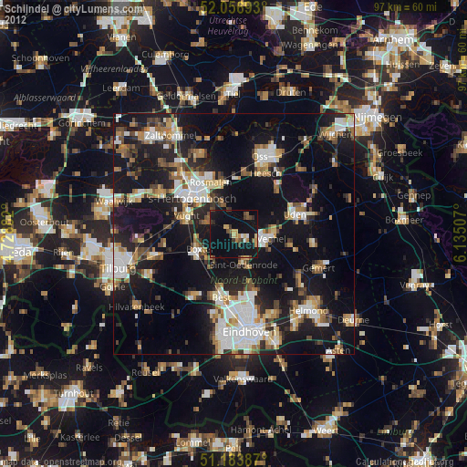
» Earth at Night: Flat Maps 2012, 2016