Volendam night lights from space
Night Light of Volendam (North Holland) from space (Netherlands) Src. Average luminocity for 10x10km area is 11.8294% and for 50x50km: 28.3357%.
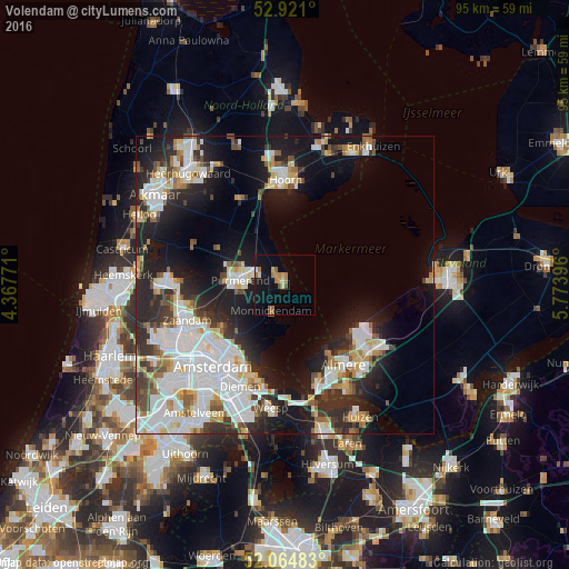
Analysis of Volendam night lights 2016
Square area 10x10 km:
 0.26%
0.26%90-99
0.93%80-89
1.85%70-79
1.59%60-69
4.23%50-59
1.59%40-49
0.66%30-39
0%20-29
0%10-19
16.01%0-9
72.88%Square area 50x50 km:
7.8%90-99
6.76%80-89
2.46%70-79
2.39%60-69
2.67%50-59
2.36%40-49
2.49%30-39
3.25%20-29
7.69%10-19
14.61%0-9
47.51%Clear (daylight) street map image can be seen on geolist.org.
Map coordinates:
52° 55' 15.6" North, 4° 22' 3.8" East
52° 29' 42" North, 5° 4' 15" East
52° 3' 53.4" North, 5° 46' 26.3" East
Some cities around Volendam sort by population:
• Amsterdam
18.2 km =11.3 mi,  222°
222°
• Almere Stad
16.9 km =10.5 mi,  144°
144°
• Zaanstad
18 km =11.2 mi,  255°
255°
• Purmerend
7.6 km =4.7 mi,  278°
278°
• Zaandam
17.7 km =11 mi,  249°
249°
• Hoorn
16.4 km =10.2 mi,  357°
357°
• Zaandijk
18 km =11.2 mi, 262°
• Edam
2.5 km =1.6 mi,  321°
321°
2745340 (p: 22,000)
Sources (retrieved 2019-11-25):
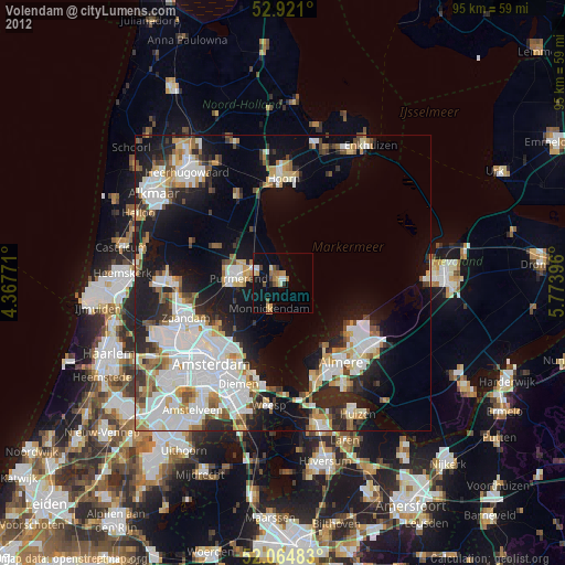
» Earth at Night: Flat Maps 2012, 2016