Zaandam night lights from space
Night Light of Zaandam (North Holland) from space (Netherlands) Src. Average luminocity for 10x10km area is 71.9003% and for 50x50km: 35.6441%.
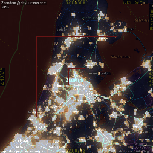
Analysis of Zaandam night lights 2016
Square area 10x10 km:
 28.66%
90-99
21.72%80-89
5.93%70-79
2.65%60-69
4.04%50-59
3.79%40-49
6.69%30-39
12.88%20-29
9.47%10-19
4.17%0-9
0%Square area 50x50 km:
9.93%90-99
8.86%80-89
2.69%70-79
2.91%60-69
3.76%50-59
3.3%40-49
3.6%30-39
4.99%20-29
9.22%10-19
14.34%0-9
36.4%Clear (daylight) street map image can be seen on geolist.org.
Map coordinates:
52° 51' 54.3" North, 4° 7' 23.9" East
52° 26' 18.7" North, 4° 49' 35.1" East
52° 0' 28.2" North, 5° 31' 46.4" East
Some cities around Zaandam sort by population:
• Amsterdam
8.4 km =5.2 mi,  149°
149°
• Zaanstad
1.8 km =1.1 mi,  331°
331°
• Purmerend
11.7 km =7.3 mi,  50°
50°
• Velsen-Zuid
12.2 km =7.6 mi,  281°
281°
• Beverwijk
12.5 km =7.8 mi,  293°
293°
• Heemskerk
13.2 km =8.2 mi,  307°
307°
• Diemen
14.4 km =8.9 mi,  139°
139°
• Uitgeest
12.8 km =8 mi,  321°
321°
2744118 (p: 71,708)
Sources (retrieved 2019-11-25):
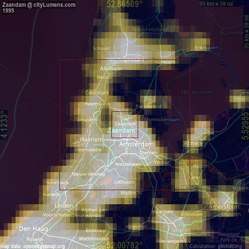
» NASA, Earths city lights 1995
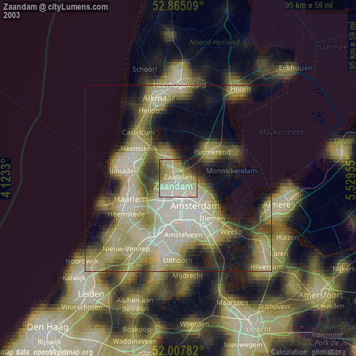
» NASA city lights 2003
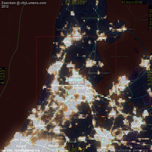
» Earth at Night: Flat Maps 2012, 2016