Almere Stad night lights from space
Night Light of Almere Stad (Flevoland) from space (Netherlands) Src. Average luminocity for 10x10km area is 55.2298% and for 50x50km: 23.4797%.
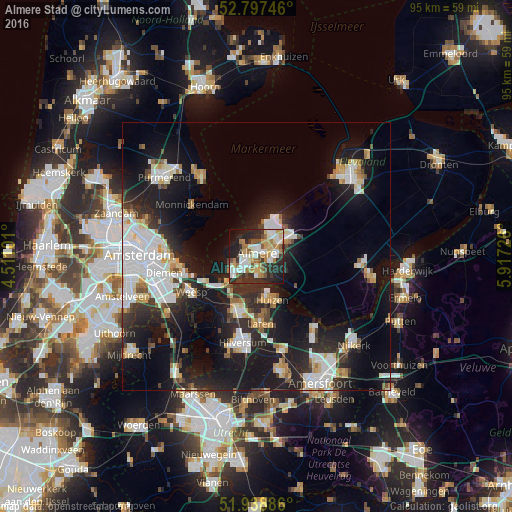
Analysis of Almere Stad night lights 2016
Square area 10x10 km:
 10.23%
90-99
14.52%80-89
4.67%70-79
8.21%60-69
9.6%50-59
4.42%40-49
5.68%30-39
8.21%20-29
20.96%10-19
11.49%0-9
2.02%Square area 50x50 km:
5.43%90-99
4.89%80-89
2.14%70-79
2.13%60-69
2.16%50-59
1.48%40-49
2.03%30-39
2.8%20-29
7.94%10-19
18.82%0-9
50.17%Clear (daylight) street map image can be seen on geolist.org.
Map coordinates:
52° 47' 50.9" North, 4° 30' 39.6" East
52° 22' 12.9" North, 5° 12' 50.9" East
51° 56' 19.9" North, 5° 55' 2.1" East
Some cities around Almere Stad sort by population:
• Huizen
8.1 km =5 mi,  166°
166°
• Bussum
11.4 km =7.1 mi,  198°
198°
• Weesp
13.6 km =8.5 mi,  239°
239°
• Naarden
9 km =5.6 mi, 202°
• Laren
12.7 km =7.9 mi,  175°
175°
• Kortenhoef
16.3 km =10.1 mi,  206°
206°
• Muiden
10.8 km =6.7 mi,  245°
245°
• Blaricum
11 km =6.8 mi, 170°
2759879 (p: 176,432)
Sources (retrieved 2019-11-25):
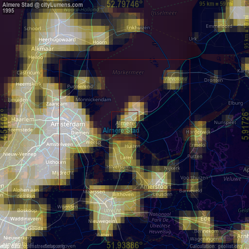
» NASA, Earths city lights 1995
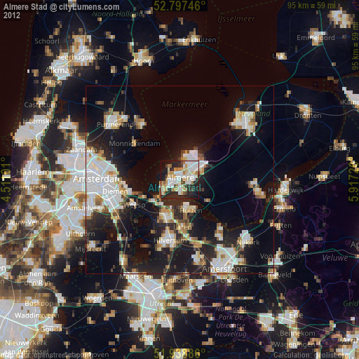
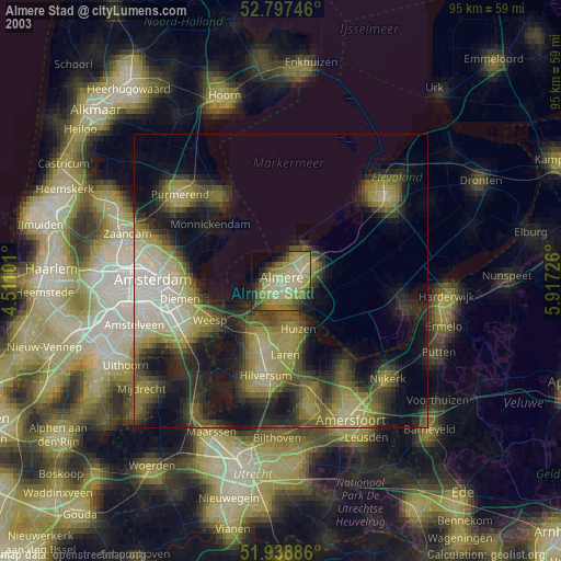
» NASA city lights 2003
» Earth at Night: Flat Maps 2012, 2016