Grou night lights from space
Night Light of Grou (Friesland) from space (Netherlands) Src. Average luminocity for 10x10km area is 0.6574% and for 50x50km: 3.9099%.
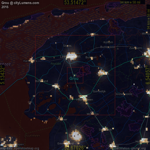
Analysis of Grou night lights 2016
Square area 10x10 km:
 0%
0%90-99
0%80-89
0%70-79
0%60-69
0.53%50-59
0%40-49
0%30-39
0%20-29
0%10-19
0%0-9
99.47%Square area 50x50 km:
0.51%90-99
0.73%80-89
0.33%70-79
0.4%60-69
0.47%50-59
0.58%40-49
0.6%30-39
0.27%20-29
0.34%10-19
2.85%0-9
92.92%Clear (daylight) street map image can be seen on geolist.org.
Map coordinates:
53° 30' 53" North, 5° 8' 3.6" East
53° 5' 40.4" North, 5° 50' 14.8" East
52° 40' 12.9" North, 6° 32' 26.1" East
Some cities around Grou sort by population:
• Leeuwarden
12 km =7.5 mi,  350°
350°
• Sneek
13.8 km =8.6 mi,  240°
240°
• Joure
14.5 km =9 mi,  189°
189°
• Camminghaburen
12.8 km =8 mi,  1°
1°
• Burgum
14.9 km =9.3 mi,  43°
43°
• Huizum
10.9 km =6.8 mi, 350°
• Bilgaard
13.7 km =8.5 mi, 348°
• Zuiderburen
8.8 km =5.5 mi, 2°
2755052 (p: 5,535)
Sources (retrieved 2019-11-25):
» Earth at Night: Flat Maps 2012, 2016