Leeuwarden night lights from space
Night Light of Leeuwarden (Friesland) from space (Netherlands) Src. Average luminocity for 10x10km area is 31.7437% and for 50x50km: 3.4074%.
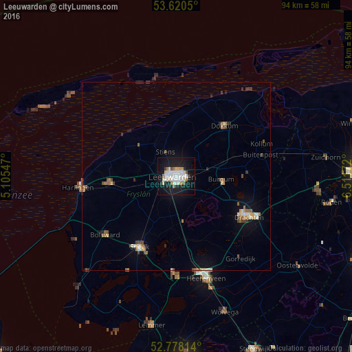
Analysis of Leeuwarden night lights 2016
Square area 10x10 km:
 7.83%
7.83%90-99
8.96%80-89
2.65%70-79
1.89%60-69
2.4%50-59
2.02%40-49
0.76%30-39
1.14%20-29
5.3%10-19
38.13%0-9
28.91%Square area 50x50 km:
0.43%90-99
0.63%80-89
0.3%70-79
0.29%60-69
0.46%50-59
0.47%40-49
0.4%30-39
0.34%20-29
0.44%10-19
2.62%0-9
93.63%Clear (daylight) street map image can be seen on geolist.org.
Map coordinates:
53° 37' 13.8" North, 5° 6' 19.7" East
53° 12' 5" North, 5° 48' 30.9" East
52° 46' 41.3" North, 6° 30' 42.2" East
Some cities around Leeuwarden sort by population:
• Camminghaburen
2.5 km =1.6 mi,  68°
68°
• Burgum
12.1 km =7.5 mi,  94°
94°
• Huizum
1.1 km =0.7 mi,  170°
170°
• Stiens
7.6 km =4.7 mi,  333°
333°
• Bilgaard
1.8 km =1.1 mi, 331°
• Zuiderburen
3.9 km =2.4 mi,  143°
143°
• Damwâld
16 km =9.9 mi,  51°
51°
• Grou
12 km =7.5 mi, 170°
2751792 (p: 91,424)
Sources (retrieved 2019-11-25):
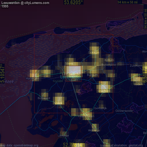
» NASA, Earths city lights 1995
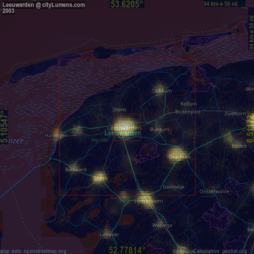
» NASA city lights 2003
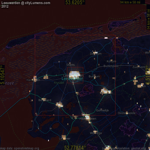
» Earth at Night: Flat Maps 2012, 2016