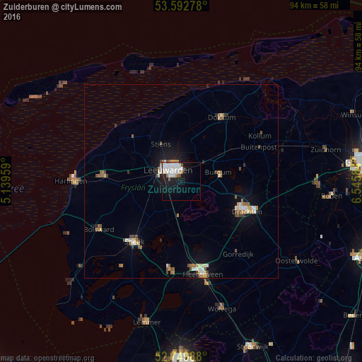
Zuiderburen night lights from space
Night Light of Zuiderburen (Friesland) from space (Netherlands) Src. Average luminocity for 10x10km area is 23.6414% and for 50x50km: 3.8055%.
Analysis of Zuiderburen night lights 2016
Square area 10x10 km:
 6.82%
6.82%90-99
8.08%80-89
1.39%70-79
1.26%60-69
1.39%50-59
1.89%40-49
0.38%30-39
0.51%20-29
2.78%10-19
17.68%0-9
57.83%Square area 50x50 km:
0.51%90-99
0.75%80-89
0.34%70-79
0.39%60-69
0.49%50-59
0.5%40-49
0.55%30-39
0.26%20-29
0.36%10-19
2.74%0-9
93.1%Clear (daylight) street map image can be seen on geolist.org.
Map coordinates:
53° 35' 34" North, 5° 8' 22.5" East
53° 10' 24.2" North, 5° 50' 33.8" East
52° 44' 59.6" North, 6° 32' 45" East
Some cities around Zuiderburen sort by population:
• Leeuwarden
3.9 km =2.4 mi,  323°
323°
• Camminghaburen
4 km =2.5 mi,  0°
0°
• Burgum
10 km =6.2 mi,  77°
77°
• Huizum
2.9 km =1.8 mi,  314°
314°
• Stiens
11.4 km =7.1 mi,  330°
330°
• Bilgaard
5.6 km =3.5 mi, 326°
• Grou
8.8 km =5.5 mi,  182°
182°
• De Westereen
15.9 km =9.9 mi,  54°
54°
2743774 (p: 5,790)
Sources (retrieved 2019-11-25):
» Earth at Night: Flat Maps 2012, 2016