Werkendam night lights from space
Night Light of Werkendam (North Brabant) from space (Netherlands) Src. Average luminocity for 10x10km area is 23.1751% and for 50x50km: 31.2026%.
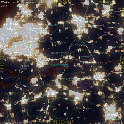
Analysis of Werkendam night lights 2016
Square area 10x10 km:
 2.66%
2.66%90-99
4.2%80-89
4.06%70-79
1.12%60-69
0.42%50-59
2.52%40-49
7.14%30-39
0.84%20-29
3.64%10-19
25.35%0-9
48.04%Square area 50x50 km:
7.17%90-99
7.32%80-89
2.87%70-79
2.44%60-69
2.44%50-59
2.44%40-49
2.89%30-39
4.23%20-29
9.39%10-19
23.77%0-9
35.04%Clear (daylight) street map image can be seen on geolist.org.
Map coordinates:
52° 14' 33.5" North, 4° 11' 28.8" East
51° 48' 36" North, 4° 53' 40" East
51° 22' 23.4" North, 5° 35' 51.3" East
Some cities around Werkendam sort by population:
• Gorinchem
6.1 km =3.8 mi,  61°
61°
• Sliedrecht
8.2 km =5.1 mi,  278°
278°
• Geertruidenberg
12.3 km =7.6 mi,  192°
192°
• Woudrichem
7.4 km =4.6 mi,  85°
85°
• Raamsdonksveer
12.7 km =7.9 mi, 186°
• Neder-Hardinxveld
3.4 km =2.1 mi,  307°
307°
• Giessendam
4.7 km =2.9 mi,  301°
301°
• Waspik
14.1 km =8.8 mi,  165°
165°
2744827 (p: 26,362)
Sources (retrieved 2019-11-25):
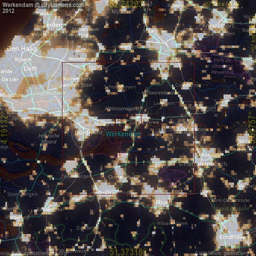
» Earth at Night: Flat Maps 2012, 2016