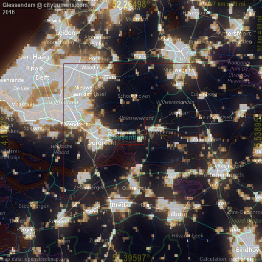
Giessendam night lights from space
Night Light of Giessendam (South Holland) from space (Netherlands) Src. Average luminocity for 10x10km area is 20.2605% and for 50x50km: 33.4082%.
Analysis of Giessendam night lights 2016
Square area 10x10 km:
 1.82%
1.82%90-99
3.08%80-89
4.34%70-79
1.12%60-69
1.26%50-59
1.96%40-49
3.92%30-39
1.82%20-29
2.66%10-19
20.73%0-9
57.28%Square area 50x50 km:
9.55%90-99
8.09%80-89
2.79%70-79
2.38%60-69
2.4%50-59
2.3%40-49
2.81%30-39
4.21%20-29
8.12%10-19
21.48%0-9
35.86%Clear (daylight) street map image can be seen on geolist.org.
Map coordinates:
52° 15' 53.9" North, 4° 7' 57.7" East
51° 49' 57.3" North, 4° 50' 9" East
51° 23' 45.5" North, 5° 32' 20.2" East
Some cities around Giessendam sort by population:
• Dordrecht
11.4 km =7.1 mi,  257°
257°
• Gorinchem
9.4 km =5.8 mi,  87°
87°
• Papendrecht
10.2 km =6.3 mi,  269°
269°
• Werkendam
4.7 km =2.9 mi,  121°
121°
• Sliedrecht
4.3 km =2.7 mi,  252°
252°
• Woudrichem
11.5 km =7.1 mi,  99°
99°
• Liesveld
11.1 km =6.9 mi,  358°
358°
• Neder-Hardinxveld
1.4 km =0.9 mi,  107°
107°
2755531 (p: 5,235)
Sources (retrieved 2019-11-25):
» Earth at Night: Flat Maps 2012, 2016