Geldrop night lights from space
Night Light of Geldrop (North Brabant) from space (Netherlands) Src. Average luminocity for 10x10km area is 44.3302% and for 50x50km: 20.0675%.
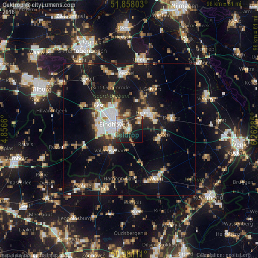
Analysis of Geldrop night lights 2016
Square area 10x10 km:
 7.09%
7.09%90-99
8.69%80-89
6.02%70-79
3.48%60-69
8.29%50-59
5.08%40-49
5.61%30-39
6.82%20-29
20.19%10-19
19.79%0-9
8.96%Square area 50x50 km:
2.85%90-99
3.38%80-89
2%70-79
2.23%60-69
2.26%50-59
2.97%40-49
2.3%30-39
2.59%20-29
5.15%10-19
18.93%0-9
55.34%Clear (daylight) street map image can be seen on geolist.org.
Map coordinates:
51° 51' 28.9" North, 4° 51' 23.8" East
51° 25' 18" North, 5° 33' 35" East
50° 58' 52" North, 6° 15' 46.3" East
Some cities around Geldrop sort by population:
• Eindhoven
6.1 km =3.8 mi,  290°
290°
• Nuenen
5.4 km =3.4 mi,  354°
354°
• Tongelre
4.1 km =2.5 mi,  317°
317°
• Mierlo
4.6 km =2.9 mi,  63°
63°
• Heeze
4.4 km =2.7 mi,  169°
169°
• De Doornakkers
4 km =2.5 mi,  297°
297°
• Coevering
1.1 km =0.7 mi,  114°
114°
• Vaartbroek
7.7 km =4.8 mi,  326°
326°
2755619 (p: 27,900)
Sources (retrieved 2019-11-25):
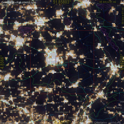
» Earth at Night: Flat Maps 2012, 2016