Eindhoven night lights from space
Night Light of Eindhoven (North Brabant) from space (Netherlands) Src. Average luminocity for 10x10km area is 81.7366% and for 50x50km: 21.9012%.
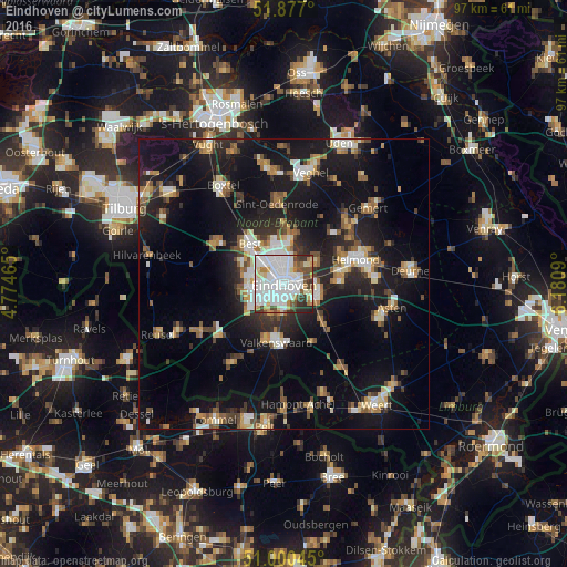
Analysis of Eindhoven night lights 2016
Square area 10x10 km:
 32.75%
90-99
27.67%80-89
8.56%70-79
4.41%60-69
3.48%50-59
4.95%40-49
6.15%30-39
7.49%20-29
4.28%10-19
0.27%0-9
0%Square area 50x50 km:
3.01%90-99
3.7%80-89
2.18%70-79
2.44%60-69
2.67%50-59
3.16%40-49
2.53%30-39
2.71%20-29
6.02%10-19
20.97%0-9
50.61%Clear (daylight) street map image can be seen on geolist.org.
Map coordinates:
51° 52' 37.2" North, 4° 46' 28.7" East
51° 26' 27" North, 5° 28' 40" East
51° 0' 1.6" North, 6° 10' 51.2" East
Some cities around Eindhoven sort by population:
• Tongelre
3 km =1.9 mi,  72°
72°
• Meerhoven
4.6 km =2.9 mi,  272°
272°
• De Doornakkers
2.2 km =1.4 mi,  97°
97°
• Grasrijk
4.3 km =2.7 mi, 267°
• Veldhoven
5.8 km =3.6 mi,  244°
244°
• Zeelst
4.7 km =2.9 mi,  246°
246°
• Woenselse Heide
4.8 km =3 mi,  350°
350°
• Vaartbroek
4.5 km =2.8 mi,  18°
18°
2756253 (p: 209,620)
Sources (retrieved 2019-11-25):
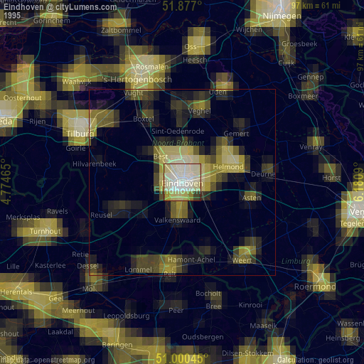
» NASA, Earths city lights 1995
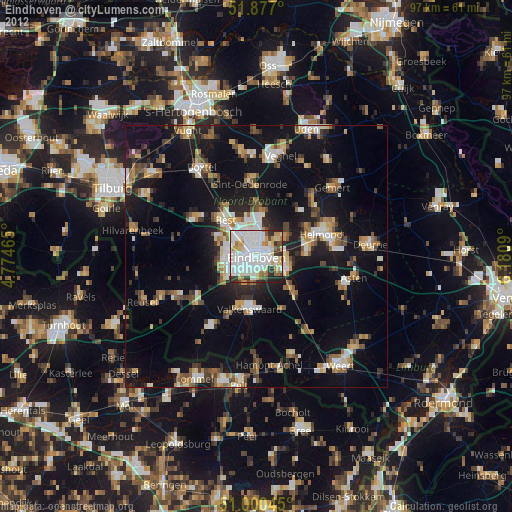
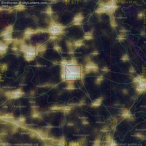
» NASA city lights 2003
» Earth at Night: Flat Maps 2012, 2016