Nuenen night lights from space
Night Light of Nuenen (North Brabant) from space (Netherlands) Src. Average luminocity for 10x10km area is 52.0013% and for 50x50km: 20.829%.
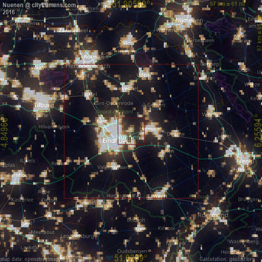
Analysis of Nuenen night lights 2016
Square area 10x10 km:
 10.7%
10.7%90-99
11.1%80-89
6.82%70-79
4.14%60-69
7.09%50-59
6.68%40-49
5.35%30-39
8.42%20-29
24.33%10-19
15.37%0-9
0%Square area 50x50 km:
3.06%90-99
3.7%80-89
1.98%70-79
2.24%60-69
2.47%50-59
2.74%40-49
2.3%30-39
2.83%20-29
5.75%10-19
19.55%0-9
53.38%Clear (daylight) street map image can be seen on geolist.org.
Map coordinates:
51° 54' 21.2" North, 4° 50' 58.8" East
51° 28' 12" North, 5° 33' 10" East
51° 1' 47.6" North, 6° 15' 21.3" East
Some cities around Nuenen sort by population:
• Eindhoven
6.1 km =3.8 mi,  238°
238°
• Geldrop
5.4 km =3.4 mi,  174°
174°
• Tongelre
3.3 km =2.1 mi,  224°
224°
• Mierlo
5.7 km =3.5 mi,  125°
125°
• De Doornakkers
4.6 km =2.9 mi, 220°
• Coevering
6 km =3.7 mi, 165°
• Woenselse Heide
6.1 km =3.8 mi,  283°
283°
• Vaartbroek
3.9 km =2.4 mi,  285°
285°
2749780 (p: 23,223)
Sources (retrieved 2019-11-25):
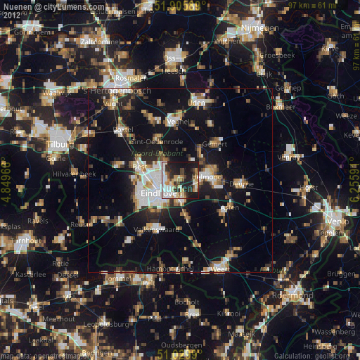
» Earth at Night: Flat Maps 2012, 2016