Oosterhout night lights from space
Night Light of Oosterhout (North Brabant) from space (Netherlands) Src. Average luminocity for 10x10km area is 47.507% and for 50x50km: 27.6089%.
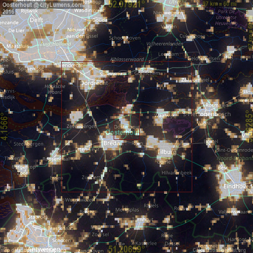
Analysis of Oosterhout night lights 2016
Square area 10x10 km:
 9.38%
9.38%90-99
9.24%80-89
4.48%70-79
5.46%60-69
3.64%50-59
3.78%40-49
4.34%30-39
18.35%20-29
30.81%10-19
10.22%0-9
0.28%Square area 50x50 km:
5.13%90-99
5.61%80-89
2.52%70-79
2.31%60-69
2.3%50-59
2.56%40-49
2.9%30-39
4.24%20-29
9.98%10-19
27.66%0-9
34.78%Clear (daylight) street map image can be seen on geolist.org.
Map coordinates:
52° 4' 45.2" North, 4° 9' 23.8" East
51° 38' 42" North, 4° 51' 35" East
51° 12' 23.7" North, 5° 33' 46.3" East
Some cities around Oosterhout sort by population:
• Dongen
5.8 km =3.6 mi,  110°
110°
• Geertruidenberg
6.3 km =3.9 mi,  358°
358°
• Rijen
7.3 km =4.5 mi,  145°
145°
• Hoge Vucht
6.3 km =3.9 mi,  228°
228°
• Made
5.8 km =3.6 mi,  307°
307°
• Teteringen
4.8 km =3 mi,  213°
213°
• Raamsdonksveer
5.8 km =3.6 mi,  9°
9°
• Heusdenhout
6.9 km =4.3 mi,  203°
203°
2749450 (p: 53,107)
Sources (retrieved 2019-11-25):
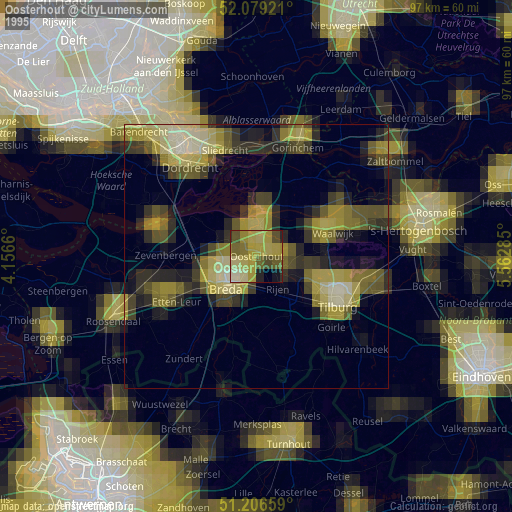
» NASA, Earths city lights 1995
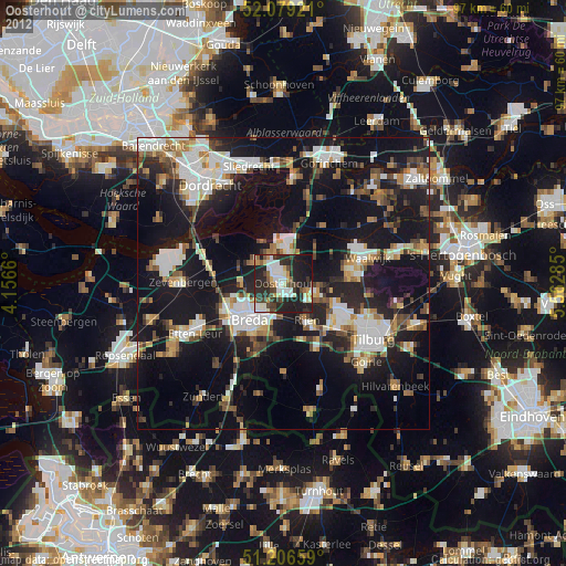
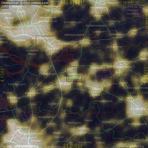
» NASA city lights 2003
» Earth at Night: Flat Maps 2012, 2016