Heusdenhout night lights from space
Night Light of Heusdenhout (North Brabant) from space (Netherlands) Src. Average luminocity for 10x10km area is 51.8088% and for 50x50km: 24.3935%.
Analysis of Heusdenhout night lights 2016
Square area 10x10 km:
 14.57%
90-99
13.1%80-89
3.07%70-79
3.74%60-69
3.21%50-59
2.81%40-49
9.22%30-39
14.97%20-29
17.11%10-19
13.37%0-9
4.81%Square area 50x50 km:
4.04%90-99
4.61%80-89
2.05%70-79
1.88%60-69
2.16%50-59
2.52%40-49
2.66%30-39
4%20-29
9.82%10-19
26.81%0-9
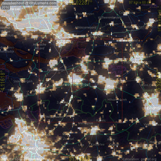
39.44%Clear (daylight) street map image can be seen on geolist.org.
Map coordinates:
52° 1' 22.3" North, 4° 6' 58.2" East
51° 35' 17.2" North, 4° 49' 9.5" East
51° 8' 56.9" North, 5° 31' 20.7" East
Some cities around Heusdenhout sort by population:
• Breda
3 km =1.9 mi,  266°
266°
• Oosterhout
6.9 km =4.3 mi,  23°
23°
• Hoge Vucht
2.9 km =1.8 mi,  318°
318°
• Princenhage
5.7 km =3.5 mi,  256°
256°
• Teteringen
2.3 km =1.4 mi,  2°
2°
• Ginneken
3.1 km =1.9 mi,  216°
216°
• Bavel
2.6 km =1.6 mi,  162°
162°
• Zandberg
2.9 km =1.8 mi,  235°
235°
2754132 (p: 5,160)
Sources (retrieved 2019-11-25):
» Earth at Night: Flat Maps 2012, 2016