Rijen night lights from space
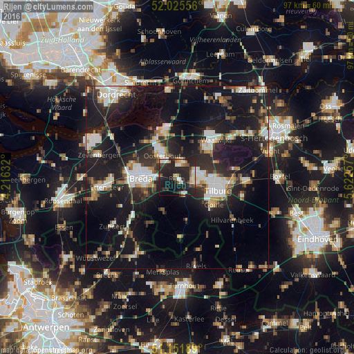
Night Light of Rijen (North Brabant) from space (Netherlands) Src. Average luminocity for 10x10km area is 36.9733% and for 50x50km: 24.4559%.
Analysis of Rijen night lights 2016
Square area 10x10 km:
 3.61%
3.61%90-99
8.16%80-89
4.01%70-79
3.88%60-69
2.54%50-59
4.81%40-49
3.34%30-39
4.68%20-29
33.16%10-19
25.94%0-9
5.88%Square area 50x50 km:
4.09%90-99
4.53%80-89
2.18%70-79
2.07%60-69
2.18%50-59
2.54%40-49
2.6%30-39
4.05%20-29
10.01%10-19
25.63%0-9
40.11%Clear (daylight) street map image can be seen on geolist.org.
Map coordinates:
52° 1' 32" North, 4° 12' 58.8" East
51° 35' 27" North, 4° 55' 10" East
51° 9' 6.8" North, 5° 37' 21.3" East
Some cities around Rijen sort by population:
• Oosterhout
7.3 km =4.5 mi,  325°
325°
• Dongen
4.2 km =2.6 mi,  18°
18°
• Hoge Vucht
9 km =5.6 mi,  282°
282°
• Teteringen
7.1 km =4.4 mi,  286°
286°
• Gilze
5.4 km =3.4 mi,  164°
164°
• Ginneken
9.2 km =5.7 mi,  252°
252°
• Bavel
6.7 km =4.2 mi, 245°
• Heusdenhout
6.9 km =4.3 mi,  267°
267°
2748130 (p: 16,230)
Sources (retrieved 2019-11-25):
» Earth at Night: Flat Maps 2012, 2016