Delfzijl night lights from space
Night Light of Delfzijl (Groningen) from space (Netherlands) Src. Average luminocity for 10x10km area is 19.0997% and for 50x50km: 6.3681%.
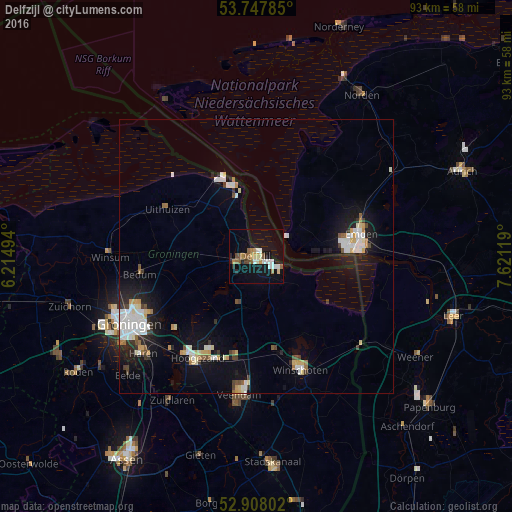
Analysis of Delfzijl night lights 2016
Square area 10x10 km:
 2.78%
2.78%90-99
3.41%80-89
1.01%70-79
2.9%60-69
1.64%50-59
3.91%40-49
1.89%30-39
0.13%20-29
2.53%10-19
16.92%0-9
62.88%Square area 50x50 km:
1.24%90-99
1.31%80-89
0.64%70-79
0.6%60-69
0.45%50-59
0.5%40-49
0.51%30-39
0.55%20-29
1.05%10-19
4.89%0-9
88.26%Clear (daylight) street map image can be seen on geolist.org.
Map coordinates:
53° 44' 52.3" North, 6° 12' 53.8" East
53° 19' 48" North, 6° 55' 5" East
52° 54' 28.9" North, 7° 37' 16.3" East
Some cities around Delfzijl sort by population:
• Emden, DE
19.7 km =12.2 mi,  77°
77°
• Veendam
25 km =15.5 mi,  185°
185°
• Hoogezand
21.4 km =13.3 mi,  209°
209°
• Winschoten
22.1 km =13.7 mi,  159°
159°
• Appingedam
4.1 km =2.5 mi,  256°
256°
• Sappemeer
20.3 km =12.6 mi,  204°
204°
• Bedum
21.2 km =13.2 mi, 261°
• Hinte, DE
20.1 km =12.5 mi,  61°
61°
2757340 (p: 28,649)
Sources (retrieved 2019-11-25):
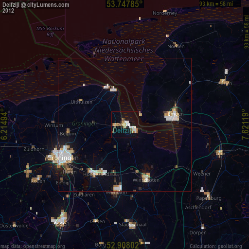
» Earth at Night: Flat Maps 2012, 2016