Veendam night lights from space
Night Light of Veendam (Groningen) from space (Netherlands) Src. Average luminocity for 10x10km area is 12.6177% and for 50x50km: 6.7058%.
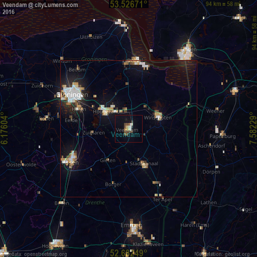
Analysis of Veendam night lights 2016
Square area 10x10 km:
 0.79%
0.79%90-99
1.46%80-89
1.85%70-79
1.19%60-69
0.53%50-59
2.51%40-49
3.84%30-39
1.59%20-29
0.53%10-19
5.16%0-9
80.56%Square area 50x50 km:
0.99%90-99
1.23%80-89
0.77%70-79
0.75%60-69
0.57%50-59
0.75%40-49
0.7%30-39
0.71%20-29
1.3%10-19
5.03%0-9
87.19%Clear (daylight) street map image can be seen on geolist.org.
Map coordinates:
53° 31' 36.2" North, 6° 10' 33.7" East
53° 6' 24" North, 6° 52' 45" East
52° 40' 57" North, 7° 34' 56.2" East
Some cities around Veendam sort by population:
• Hoogezand
10 km =6.2 mi,  307°
307°
• Stadskanaal
13.9 km =8.6 mi,  159°
159°
• Winschoten
11.2 km =7 mi,  68°
68°
• Marsdijk
22 km =13.7 mi,  243°
243°
• Haren
19.4 km =12.1 mi,  292°
292°
• Sappemeer
8.7 km =5.4 mi,  317°
317°
• Oude Pekela
8.7 km =5.4 mi,  91°
91°
• Eelde
21.4 km =13.3 mi,  278°
278°
2745783 (p: 28,155)
Sources (retrieved 2019-11-25):
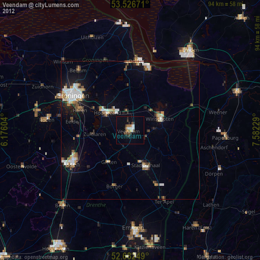
» Earth at Night: Flat Maps 2012, 2016