Winschoten night lights from space
Night Light of Winschoten (Groningen) from space (Netherlands) Src. Average luminocity for 10x10km area is 8.5833% and for 50x50km: 4.5627%.
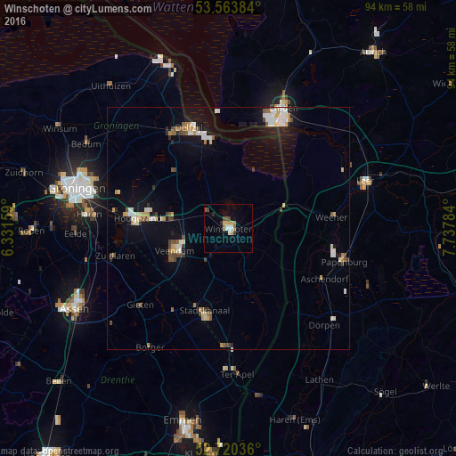
Analysis of Winschoten night lights 2016
Square area 10x10 km:
 0.63%
0.63%90-99
1.39%80-89
1.89%70-79
0.63%60-69
1.39%50-59
0.63%40-49
1.77%30-39
0.76%20-29
1.01%10-19
0.51%0-9
89.39%Square area 50x50 km:
0.67%90-99
0.71%80-89
0.65%70-79
0.53%60-69
0.33%50-59
0.58%40-49
0.55%30-39
0.37%20-29
0.42%10-19
2.9%0-9
92.3%Clear (daylight) street map image can be seen on geolist.org.
Map coordinates:
53° 33' 49.8" North, 6° 19' 53.7" East
53° 8' 39" North, 7° 2' 5" East
52° 43' 13.3" North, 7° 44' 16.2" East
Some cities around Winschoten sort by population:
• Delfzijl
22.1 km =13.7 mi,  339°
339°
• Veendam
11.2 km =7 mi,  248°
248°
• Hoogezand
18.3 km =11.4 mi,  276°
276°
• Stadskanaal
18.1 km =11.2 mi,  198°
198°
• Weener, DE
21.2 km =13.2 mi,  84°
84°
• Sappemeer
16.4 km =10.2 mi, 277°
• Bunde, DE
16.1 km =10 mi,  74°
74°
• Oude Pekela
4.8 km =3 mi, 200°
2744344 (p: 18,506)
Sources (retrieved 2019-11-25):
» Earth at Night: Flat Maps 2012, 2016