Beuningen night lights from space
Night Light of Beuningen (Gelderland) from space (Netherlands) Src. Average luminocity for 10x10km area is 49.9861% and for 50x50km: 21.9264%.
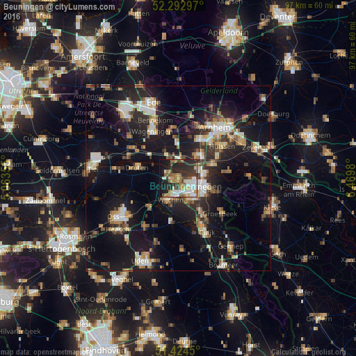
Analysis of Beuningen night lights 2016
Square area 10x10 km:
100  9.47%
9.47%
90-99 11.24%
80-89 4.67%
70-79 6.06%
60-69 7.7%
50-59 6.69%
40-49 5.05%
30-39 7.32%
20-29 23.23%
10-19 17.17%
0-9 1.39%
9.47%90-99
11.24%80-89
4.67%70-79
6.06%60-69
7.7%50-59
6.69%40-49
5.05%30-39
7.32%20-29
23.23%10-19
17.17%0-9
1.39%Square area 50x50 km:
100 2.76%
90-99 3.47%
80-89 2.37%
70-79 2.25%
60-69 2.97%
50-59 2.73%
40-49 2.63%
30-39 3.31%
20-29 7.23%
10-19 21.9%
0-9 48.38%
2.76%90-99
3.47%80-89
2.37%70-79
2.25%60-69
2.97%50-59
2.73%40-49
2.63%30-39
3.31%20-29
7.23%10-19
21.9%0-9
48.38%Clear (daylight) street map image can be seen on geolist.org.
Map coordinates:
52° 17' 34.7" North, 5° 3' 48.8" East
51° 51' 39" North, 5° 46' 0" East
51° 25' 28.2" North, 6° 28' 11.3" East
Some cities around Beuningen sort by population:
• Nijmegen
6.3 km =3.9 mi,  109°
109°
• Wijchen
6.4 km =4 mi,  206°
206°
• Elst
8.3 km =5.2 mi,  38°
38°
• Lindenholt
3.6 km =2.2 mi,  149°
149°
• Bemmel
9.7 km =6 mi,  69°
69°
• Hatert
7.5 km =4.7 mi,  144°
144°
• Lent
6.9 km =4.3 mi,  89°
89°
• Hengstdal
8.6 km =5.3 mi, 110°
2759016 (p: 25,557)
Sources (retrieved 2019-11-25):
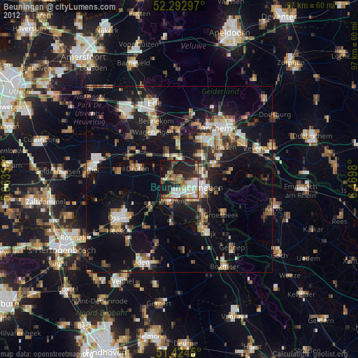
» Earth at Night: Flat Maps 2012, 2016