Elst night lights from space
Night Light of Elst (Gelderland) from space (Netherlands) Src. Average luminocity for 10x10km area is 43.6616% and for 50x50km: 20.2722%.
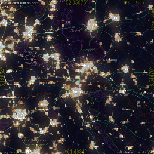
Analysis of Elst night lights 2016
Square area 10x10 km:
100  6.31%
6.31%
90-99 6.06%
80-89 5.68%
70-79 5.68%
60-69 6.19%
50-59 2.78%
40-49 5.56%
30-39 14.39%
20-29 27.4%
10-19 19.7%
0-9 0.25%
6.31%90-99
6.06%80-89
5.68%70-79
5.68%60-69
6.19%50-59
2.78%40-49
5.56%30-39
14.39%20-29
27.4%10-19
19.7%0-9
0.25%Square area 50x50 km:
100 2.48%
90-99 3.1%
80-89 2.22%
70-79 2.07%
60-69 2.73%
50-59 2.69%
40-49 2.49%
30-39 3.11%
20-29 6.9%
10-19 19.02%
0-9 53.17%
2.48%90-99
3.1%80-89
2.22%70-79
2.07%60-69
2.73%50-59
2.69%40-49
2.49%30-39
3.11%20-29
6.9%10-19
19.02%0-9
53.17%Clear (daylight) street map image can be seen on geolist.org.
Map coordinates:
52° 21' 2.7" North, 5° 8' 18.7" East
51° 55' 9" North, 5° 50' 30" East
51° 29' 0.2" North, 6° 32' 41.2" East
Some cities around Elst sort by population:
• Nijmegen
8.6 km =5.3 mi,  174°
174°
• Arnhem
8.3 km =5.2 mi,  35°
35°
• Beuningen
8.3 km =5.2 mi,  218°
218°
• Bemmel
5 km =3.1 mi,  128°
128°
• Oosterbeek
7.4 km =4.6 mi,  2°
2°
• Renkum
9.8 km =6.1 mi,  310°
310°
• Lent
6.6 km =4.1 mi,  164°
164°
• Westervoort
9.8 km =6.1 mi,  65°
65°
2756161 (p: 20,488)
Sources (retrieved 2019-11-25):
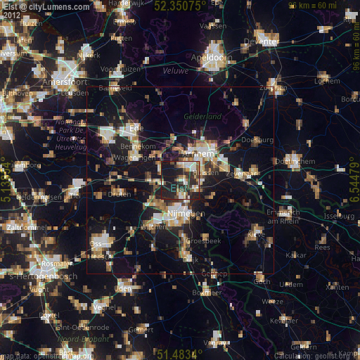
» Earth at Night: Flat Maps 2012, 2016