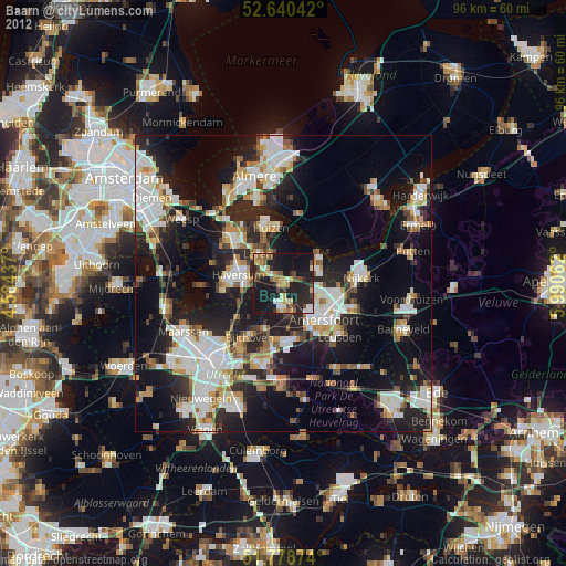
Baarn night lights from space
Night Light of Baarn (Utrecht) from space (Netherlands) Src. Average luminocity for 10x10km area is 29.0066% and for 50x50km: 29.8266%.

Analysis of Baarn night lights 2016
Square area 10x10 km:
 1.85%
1.85%90-99
3.44%80-89
2.12%70-79
5.82%60-69
4.1%50-59
1.72%40-49
1.85%30-39
1.46%20-29
19.97%10-19
51.98%0-9
5.69%Square area 50x50 km:
6.51%90-99
6.23%80-89
2.56%70-79
2.84%60-69
2.92%50-59
2.48%40-49
3.01%30-39
3.91%20-29
11.13%10-19
21.86%0-9
36.55%Clear (daylight) street map image can be seen on geolist.org.
Map coordinates:
52° 38' 25.5" North, 4° 35' 3.7" East
52° 12' 42" North, 5° 17' 15" East
51° 46' 43.5" North, 5° 59' 26.2" East
Some cities around Baarn sort by population:
• Amersfoort
9.3 km =5.8 mi,  132°
132°
• Hilversum
7.7 km =4.8 mi,  279°
279°
• Huizen
10.2 km =6.3 mi,  342°
342°
• Soest
4.3 km =2.7 mi,  176°
176°
• Laren
6.4 km =4 mi,  320°
320°
• Hoogland
6.7 km =4.2 mi,  118°
118°
• Nieuw-Loosdrecht
10.2 km =6.3 mi,  262°
262°
• Blaricum
7.4 km =4.6 mi, 335°
2759544 (p: 24,584)
Sources (retrieved 2019-11-25):
» Earth at Night: Flat Maps 2012, 2016