Amersfoort night lights from space
Night Light of Amersfoort (Utrecht) from space (Netherlands) Src. Average luminocity for 10x10km area is 54.8876% and for 50x50km: 26.6572%.
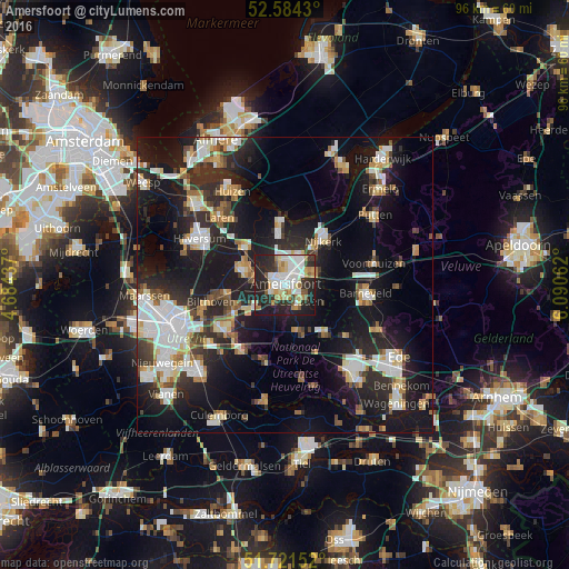
Analysis of Amersfoort night lights 2016
Square area 10x10 km:
 13.23%
90-99
13.36%80-89
6.48%70-79
6.22%60-69
7.14%50-59
3.7%40-49
2.12%30-39
6.48%20-29
28.31%10-19
12.96%0-9
0%Square area 50x50 km:
5.07%90-99
5.23%80-89
2.45%70-79
2.73%60-69
2.8%50-59
2.23%40-49
2.78%30-39
3.22%20-29
9.78%10-19
22.93%0-9
40.77%Clear (daylight) street map image can be seen on geolist.org.
Map coordinates:
52° 35' 3.5" North, 4° 41' 3.7" East
52° 9' 18" North, 5° 23' 15" East
51° 43' 17.5" North, 6° 5' 26.2" East
Some cities around Amersfoort sort by population:
• Soest
6.8 km =4.2 mi,  287°
287°
• Nijkerk
9.9 km =6.2 mi,  42°
42°
• Leusden
3.9 km =2.4 mi,  129°
129°
• Baarn
9.3 km =5.8 mi,  312°
312°
• Woudenberg
8.5 km =5.3 mi,  166°
166°
• Hoogland
3.2 km =2 mi,  342°
342°
• Randenbroek
1.2 km =0.7 mi, 127°
• Doornsteeg
9.5 km =5.9 mi,  28°
28°
2759821 (p: 139,914)
Sources (retrieved 2019-11-25):
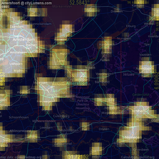
» NASA, Earths city lights 1995
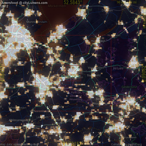
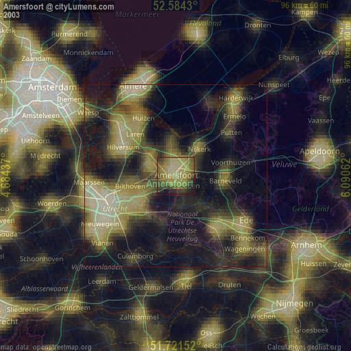
» NASA city lights 2003
» Earth at Night: Flat Maps 2012, 2016