Huizen night lights from space
Night Light of Huizen (North Holland) from space (Netherlands) Src. Average luminocity for 10x10km area is 36.3384% and for 50x50km: 28.1429%.
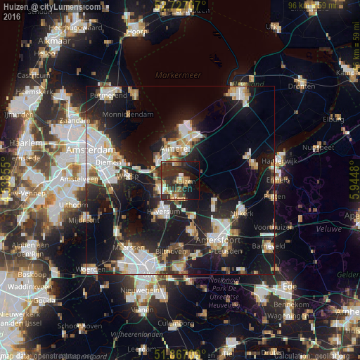
Analysis of Huizen night lights 2016
Square area 10x10 km:
 1.77%
1.77%90-99
5.05%80-89
2.4%70-79
7.83%60-69
5.93%50-59
3.16%40-49
7.7%30-39
9.97%20-29
24.12%10-19
16.79%0-9
15.28%Square area 50x50 km:
6.51%90-99
5.76%80-89
2.6%70-79
2.74%60-69
2.71%50-59
2.15%40-49
2.59%30-39
3.22%20-29
9.6%10-19
21.74%0-9
40.38%Clear (daylight) street map image can be seen on geolist.org.
Map coordinates:
52° 43' 37.5" North, 4° 32' 18.8" East
52° 17' 57" North, 5° 14' 30" East
51° 52' 1.5" North, 5° 56' 41.3" East
Some cities around Huizen sort by population:
• Almere Stad
8.1 km =5 mi,  346°
346°
• Hilversum
9.5 km =5.9 mi,  207°
207°
• Bussum
6.2 km =3.9 mi,  242°
242°
• Baarn
10.2 km =6.3 mi,  162°
162°
• Naarden
5.4 km =3.4 mi,  266°
266°
• Laren
4.8 km =3 mi,  191°
191°
• Kortenhoef
11.3 km =7 mi,  233°
233°
• Blaricum
3 km =1.9 mi,  180°
180°
2753468 (p: 45,292)
Sources (retrieved 2019-11-25):
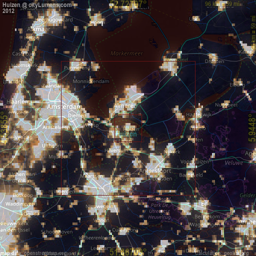
» Earth at Night: Flat Maps 2012, 2016