Waspán night lights from space
Night Light of Waspán (North Caribbean Coast) from space (Nicaragua) Src. Average luminocity for 10x10km area is 1.8988% and for 50x50km: 0.076%.
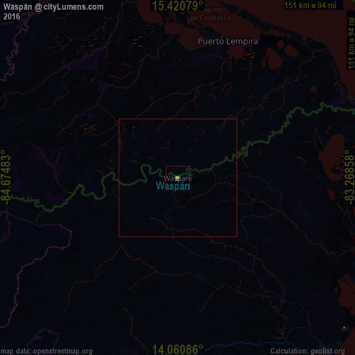
Analysis of Waspán night lights 2016
Square area 10x10 km:
 0%
0%90-99
0%80-89
0%70-79
0.83%60-69
0%50-59
0.83%40-49
0.41%30-39
0.62%20-29
0.62%10-19
0%0-9
96.69%Square area 50x50 km:
0%90-99
0%80-89
0%70-79
0.03%60-69
0%50-59
0.03%40-49
0.02%30-39
0.02%20-29
0.02%10-19
0%0-9
99.87%Clear (daylight) street map image can be seen on geolist.org.
Map coordinates:
15° 25' 14.8" North, 84° 40' 29.4" West
14° 44' 30.8" North, 83° 58' 18.1" West
14° 3' 39.1" North, 83° 16' 6.9" West
Some cities around Waspán sort by population:
• Puerto Cabezas
100.6 km =62.5 mi,  141°
141°
• Siuna
141.8 km =88.1 mi,  217°
217°
• Wiwilí
235.2 km =146.1 mi,  238°
238°
• Waslala
226.6 km =140.8 mi, 222°
• Bonanza
103.6 km =64.4 mi, 220°
• Las Trojes, HN
229.3 km =142.5 mi,  250°
250°
• San Francisco de la Paz, HN
240.2 km =149.3 mi,  274°
274°
• Puerto Lempira, HN
62.2 km =38.6 mi,  20°
20°
3615730 (p: 6,403)
Sources (retrieved 2019-11-25):
» Earth at Night: Flat Maps 2012, 2016